Export Processing Zone · Greece

Free Zone of Heraklion Active
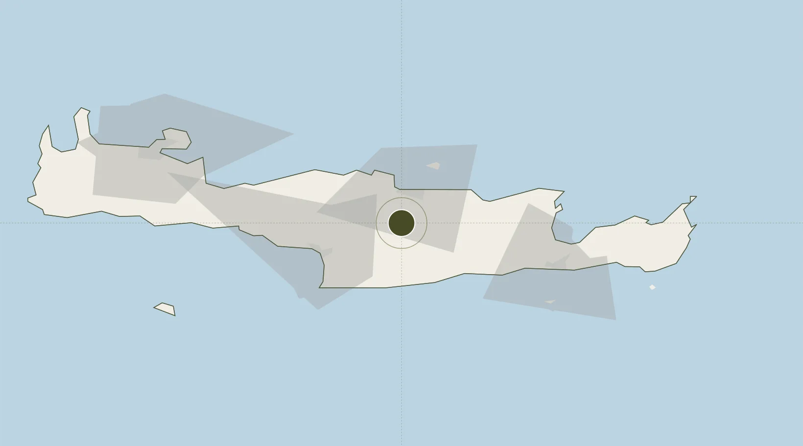
35.2033°, 25.0842°
6 ha
Zone area
17.4 km
Nearest port
17.5 km
Nearest airport

Gateway access

Nearest neighbours — logibook spatial index (haversine) over the source coordinates

Zone profile

Zone type
Export Processing Zone
Open Zone Map
Region
Kriti
Open Zone Map
Status
Active
Open Zone Map
Management
Public
Open Zone Map
Operator
Heraklion Port Authority, S.A.
Open Zone Map
Legal framework
Regulation (EU) No 952/2013 of the European Parliament and of the Council of 9 October 2013 laying down the Union Customs Code (recast)
Open Zone Map

Location

Location of ozm-2053
Natural Earth 10m (public domain) · Kriti · ozm-2053 · 35.20, 25.08GoogleOSMYandex

Nearby Logistics Neighbours

Ports
  1. 1Iraklion17 km
  2. 2Kali Limenes38 km
  3. 3Ayios Nikolaos58 km
  4. 4Rethimnon59 km
  5. 5Soudha87 km
Nearest neighbours — logibook spatial index (haversine) over the source coordinates
Airports
  1. 1Heraklion International Nikos Kazantzakis Airport18 km
  2. 2(Duplicate)Kasteli Hellenic Air Force Base22 km
  3. 3Chania International Airport92 km
  4. 4Sitia Airport92 km
  5. 5Santorini International Airport138 km
Nearest neighbours — logibook spatial index (haversine) over the source coordinates
Cities
  1. 1Kounavoi10 km
  2. 2Linoperamata Hrakliou17 km
  3. 3Heraklion (Iraklion)17 km
  4. 4Thrapsanon18 km
  5. 5Malia36 km
Nearest neighbours — logibook spatial index (haversine) over the source coordinates
Trade Zones
  1. 1Free Zone of Piraeus332 km
  2. 2Tobruk Free Zone367 km
  3. 3Aegean Free Zone393 km
  4. 4Tire Organized Industrial Zone400 km
  5. 5Izmir Ataturk Organized Industrial Zone405 km
Nearest neighbours — logibook spatial index (haversine) over the source coordinates
DatabookThe Record of Consolidated Knowledge
Greece beyond logistics?
Browse databook

All Sources

Trade ZonesOpen Zone Map
CC BY
Portsthe NGA World Port Index
Public domain (US gov)
AirportsOurAirports
Public domain
LocationsUN/LOCODE
UN/LOCODE — free
← Greece trade zones