Free Trade Zone · Libya
Tobruk Free Zone Inactive
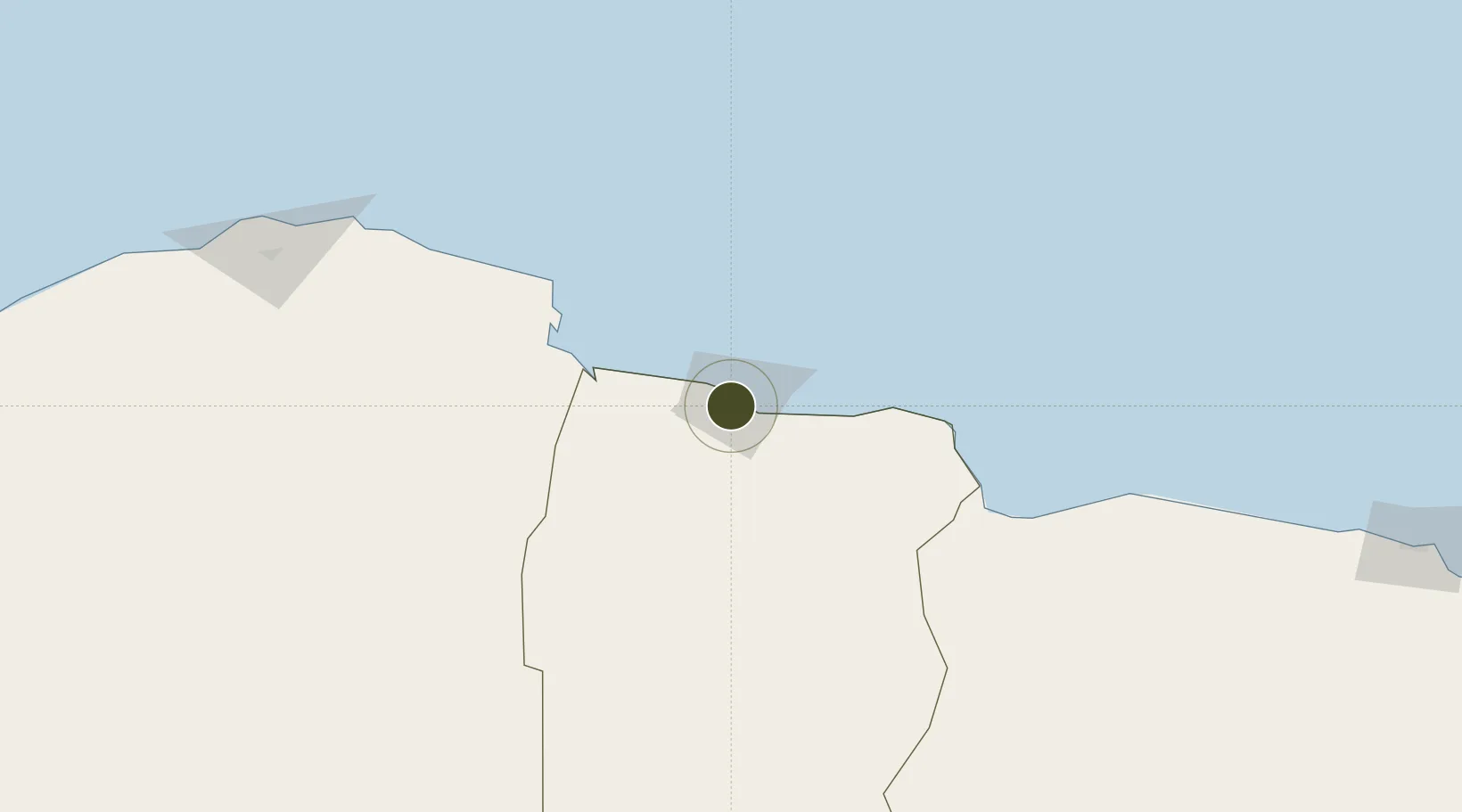
32.0400°, 23.9595°
80 ha
Zone area
5.3 km
Nearest port
20.5 km
Nearest airport
Gateway access
Zone profile
Zone type
Free Trade Zone
Region
Al Butnan
Status
Inactive
Management
Public-Private Partnership
Operator
General Work Libya, General Work Company, Libya's eastern-based Airports Authority
Legal framework
The Free Trade Act of 1999 libya
Location
Nearby Logistics Neighbours
Ports
- 1Mersa Tobruq5 km
- 2Darnah147 km
- 3Mersa Matruh319 km
- 4Kali Limenes332 km
- 5Banghazi368 km
Airports
- 1Tobruk International Airport21 km
- 2Bombah Airport91 km
- 3Al Abraq International Airport206 km
- 4Mersa Matruh International Airport319 km
- 5Siwa Oasis North Airport334 km
Cities
- 1Marsa El Hariga4 km
- 2Tobruk5 km
- 3Bardiyah112 km
- 4Sallum124 km
- 5Darnah148 km
Trade Zones
- 1Free Zone of Heraklion367 km
- 2Elmreisa (Benghazi) Free Zone372 km
- 3New Alamein City Investment Zone488 km
- 4Alexandria Public Free Zone562 km
- 5Venus International Free Zone562 km
DatabookThe Record of Consolidated Knowledge
Libya beyond logistics?