Large airport · Libya
Al Abraq International AirportHLLQ
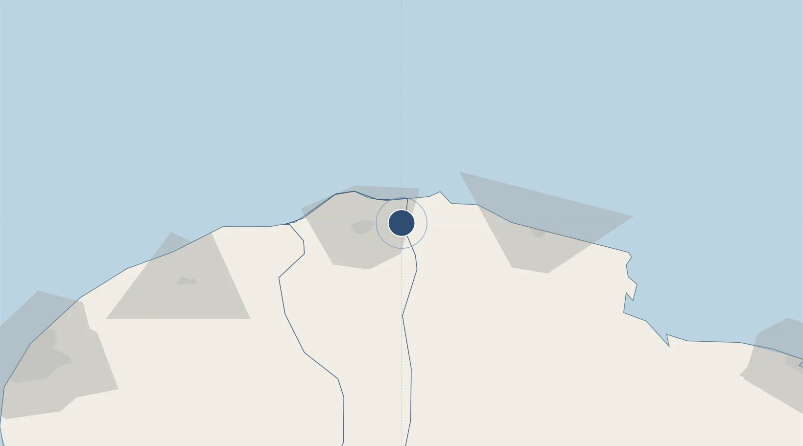
32.7890°, 21.9549°
11,824 ft
Longest runway
2
Runways
2,157 ft
Elevation
Runway & Layout

Radio Frequencies
TWR
118.1 MHz
APP
126.5 MHz
BENGHAZI APP
Navaids
LAB NDB Labraq 392 kHz
Runways · 2
| Runway | Dimensions | Surface | True heading | Lit |
|---|---|---|---|---|
| 10/28 | 11,824 × 148ft | Asphalt | 103° | — |
| 03/21 | 6,214 × 190ft | Asphalt | 030° | — |
Airport Specifications
IATA code
LAQ
ICAO code
HLLQ
Airport class
Large airport
Scheduled service
Yes
Runway surface
Asphalt
Served city
Al Albraq
Location
Nearby Logistics Neighbours
Airports
- 1Bombah Airport115 km
- 2Benina International Airport176 km
- 3Tobruk International Airport211 km
- 4Marsa al Brega Airport350 km
- 5Chania International Airport366 km
Cities
- 1Darnah64 km
- 2Banghazi192 km
- 3Bingazi (Benghazi)194 km
- 4Tobruk206 km
- 5Marsa El Hariga209 km
Ports
- 1Darnah65 km
- 2Banghazi194 km
- 3Mersa Tobruq206 km
- 4Ez Zueitina281 km
- 5Al Burayqah345 km
Trade Zones
- 1Elmreisa (Benghazi) Free Zone201 km
- 2Tobruk Free Zone206 km
- 3Free Zone of Heraklion394 km
- 4Free Zone of Piraeus593 km
- 5Misurata Free Zone634 km
DatabookThe Record of Consolidated Knowledge
Libya beyond logistics?