Seaport · Libya

Ras LanufLYRLA

30.5167°, 18.5667°
15.5 m
Channel depth
12.6
Port liner connectivity

Channel & Berth Profile

SEA LEVEL (CD)CHANNEL BEDChannel · 15.5 mAnchorage · 23.2 mOil terminal · 23.2 m
NGA World Port Index

Pilotage, Tugs & Services

Pilotage compulsoryYES
Pilotage advisableYES
Tug assistanceYES
Potable waterNO
Diesel bunkersNO
MedicalYES
NGA World Port Index

Facilities & Capabilities

Container
Ro-Ro
Liquid bulk
Dry bulk
Oil terminal
Break bulk
Dry dock
Repairs
BunkeringNO
Rail link
Dangerous cargo
ISPS security
NGA World Port Index

Harbour Specifications

Harbour size
Very Small
NGA World Port Index
Harbour type
Open Roadstead
NGA World Port Index
Water body
Gulf of Sidra; Mediterranean Sea; North Atlantic Ocean
NGA World Port Index
Pilotage
Yes
NGA World Port Index

Liner Connectivity

12.6
PLSCI

Port Liner Shipping Connectivity Index for Ras Lanuf, as published by UNCTAD for the latest available quarter. Higher values indicate stronger scheduled liner-shipping integration.

Shown relative to the highest per-port PLSCI in the dataset (1,657.9).
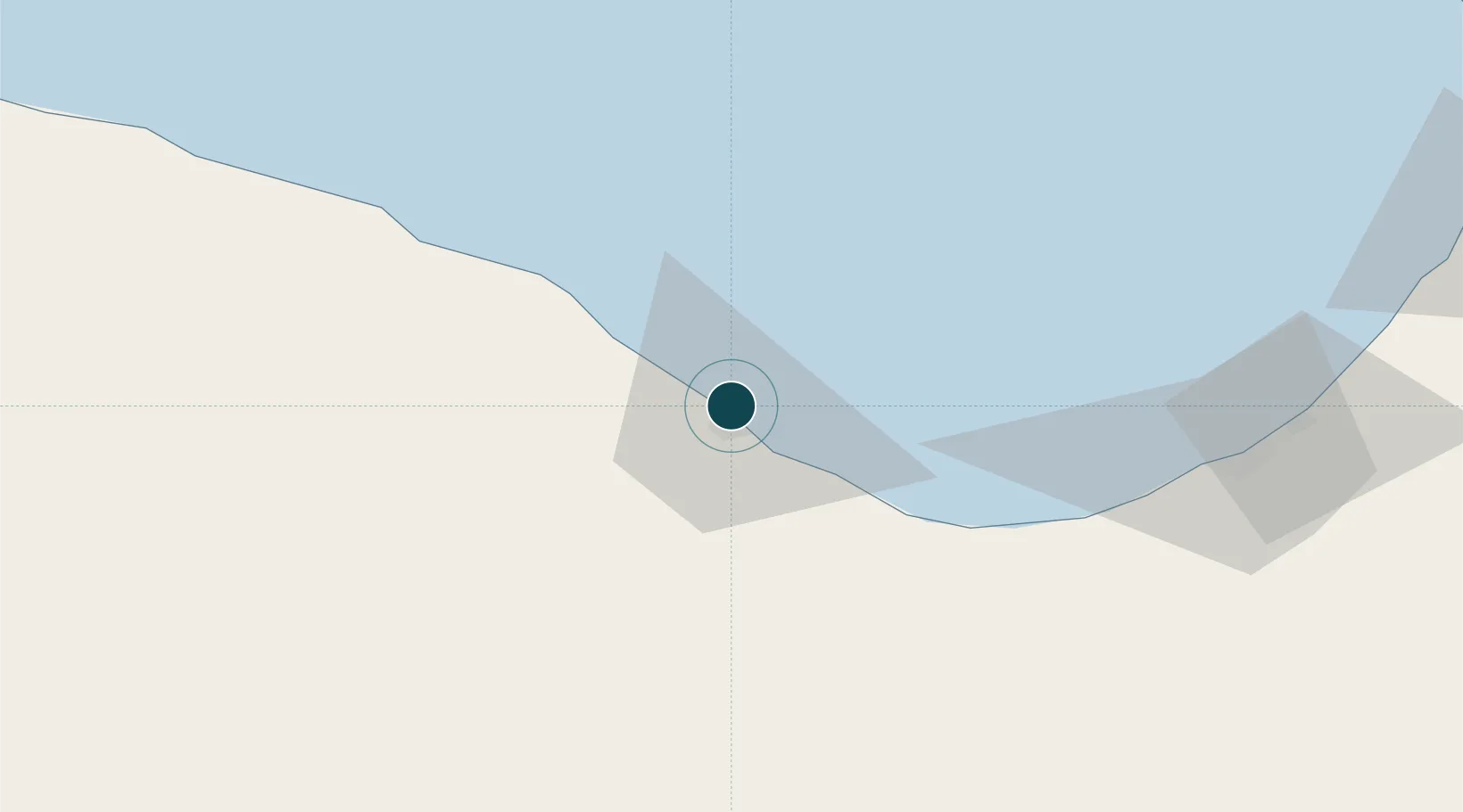
UNCTAD · Port Liner Shipping Connectivity Index

Location

Location of LYRLA
Natural Earth 10m (public domain) · Surt · LYRLA · 30.52, 18.57GoogleOSMYandex

Nearby Logistics Neighbours

Ports
  1. 1As Sidr23 km
  2. 2Al Burayqah100 km
  3. 3Ez Zueitina147 km
  4. 4Banghazi227 km
  5. 5Misratah379 km
Nearest neighbours — logibook spatial index (haversine) over the source coordinates
Cities
  1. 1As Sidr23 km
  2. 2Bingazi (Benghazi)227 km
  3. 3Banghazi228 km
  4. 4Bu'ayrat al Hasun288 km
  5. 5Misurata378 km
Nearest neighbours — logibook spatial index (haversine) over the source coordinates
Airports
  1. 1Marsa al Brega Airport98 km
  2. 2Sirt International Airport / Ghardabiya Airbase198 km
  3. 3Benina International Airport239 km
  4. 4Misrata International Airport389 km
  5. 5Al Abraq International Airport408 km
Nearest neighbours — logibook spatial index (haversine) over the source coordinates
Trade Zones
  1. 1Elmreisa (Benghazi) Free Zone216 km
  2. 2Misurata Free Zone377 km
  3. 3Tobruk Free Zone540 km
  4. 4Taminhent Free Zone668 km
  5. 5Zwara-Abu-Kemmash Free Trade Zone673 km
Nearest neighbours — logibook spatial index (haversine) over the source coordinates
DatabookThe Record of Consolidated Knowledge
Libya beyond logistics?
Browse databook

All Sources

Portsthe NGA World Port Index
Public domain (US gov)
Logistics performanceUNCTAD
CC BY 3.0 IGO
AirportsOurAirports
Public domain
LocationsUN/LOCODE
UN/LOCODE — free
Trade Zonesthe World Bank SEZ database
CC BY 4.0
Trade ZonesOpen Zone Map
CC BY
← Libya ports