Free Trade Zone · Libya

Elmreisa (Benghazi) Free Zone Inactive
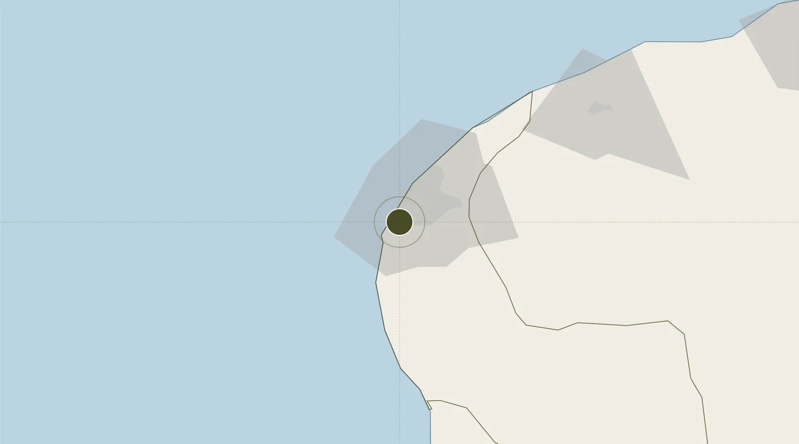
32.0133°, 20.0173°
1,200 ha
Zone area
11.9 km
Nearest port
25.5 km
Nearest airport

Gateway access

Nearest neighbours — logibook spatial index (haversine) over the source coordinates

Zone profile

Zone type
Free Trade Zone
Open Zone Map
Region
Benghazi
Open Zone Map
Status
Inactive
Open Zone Map
Management
Public
Open Zone Map
Operator
Elmreisa Free Zone
Open Zone Map
Legal framework
The Free Trade Act of 1999 libya
Open Zone Map

Location

Location of ozm-2715
Natural Earth 10m (public domain) · Benghazi · ozm-2715 · 32.01, 20.02GoogleOSMYandex

Nearby Logistics Neighbours

Ports
  1. 1Banghazi12 km
  2. 2Ez Zueitina129 km
  3. 3Al Burayqah182 km
  4. 4Ras Lanuf216 km
  5. 5As Sidr219 km
Nearest neighbours — logibook spatial index (haversine) over the source coordinates
Airports
  1. 1Benina International Airport26 km
  2. 2Marsa al Brega Airport187 km
  3. 3Al Abraq International Airport201 km
  4. 4Bombah Airport296 km
  5. 5Sirt International Airport / Ghardabiya Airbase341 km
Nearest neighbours — logibook spatial index (haversine) over the source coordinates
Cities
  1. 1Bingazi (Benghazi)12 km
  2. 2Banghazi12 km
  3. 3As Sidr219 km
  4. 4Darnah260 km
  5. 5Tobruk374 km
Nearest neighbours — logibook spatial index (haversine) over the source coordinates
Trade Zones
  1. 1Tobruk Free Zone372 km
  2. 2Misurata Free Zone454 km
  3. 3Free Zone of Heraklion588 km
  4. 4Malta Freeport659 km
  5. 5Free Zone of Platigiali (Astakos Etoloakarnanias)726 km
Nearest neighbours — logibook spatial index (haversine) over the source coordinates
DatabookThe Record of Consolidated Knowledge
Libya beyond logistics?
Browse databook

All Sources

Trade ZonesOpen Zone Map
CC BY
Portsthe NGA World Port Index
Public domain (US gov)
AirportsOurAirports
Public domain
LocationsUN/LOCODE
UN/LOCODE — free
← Libya trade zones