Channel & Berth Profile
Pilotage, Tugs & Services
Pilotage compulsoryYES
Pilotage advisableNO
Tug assistanceYES
Shore powerYES
Potable waterYES
MedicalYES
Facilities & Capabilities
Container—
Ro-Ro—
Liquid bulk—
Dry bulk—
Oil terminal—
Break bulk—
Dry dock—
Repairs—
BunkeringYES
Rail link—
Dangerous cargo—
ISPS security—
Harbour Specifications
Harbour size
Very Small
Harbour type
Coastal (Breakwater)
Shelter
Fair
Water body
Mediterranean Sea; North Atlantic Ocean
Tidal range
1 m
Pilotage
Yes
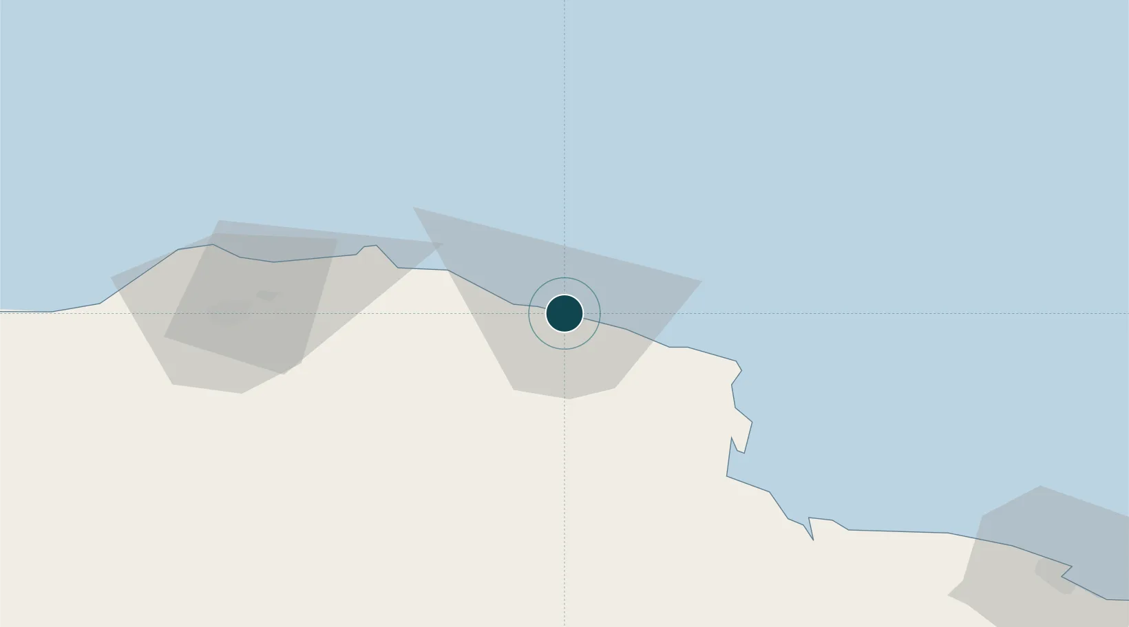
Location
Nearby Logistics Neighbours
Ports
- 1Mersa Tobruq146 km
- 2Banghazi255 km
- 3Kali Limenes314 km
- 4Ez Zueitina325 km
- 5Soudha333 km
Cities
- 1Tobruk147 km
- 2Marsa El Hariga150 km
- 3Banghazi253 km
- 4Bingazi (Benghazi)255 km
- 5Bardiyah256 km
Airports
- 1Bombah Airport56 km
- 2Al Abraq International Airport65 km
- 3Tobruk International Airport155 km
- 4Benina International Airport236 km
- 5Chania International Airport337 km
Trade Zones
- 1Tobruk Free Zone147 km
- 2Elmreisa (Benghazi) Free Zone261 km
- 3Free Zone of Heraklion352 km
- 4Free Zone of Piraeus583 km
- 5New Alamein City Investment Zone629 km
DatabookThe Record of Consolidated Knowledge
Libya beyond logistics?