Large airport · Libya
Sirt International Airport / Ghardabiya AirbaseHLGD
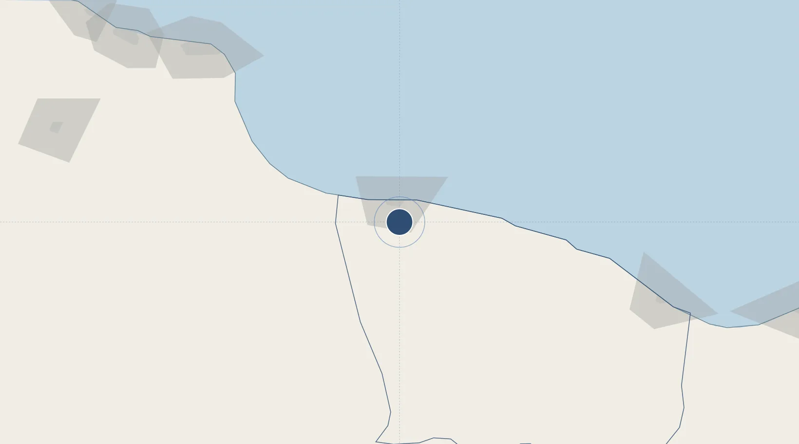
31.0586°, 16.5971°
11,807 ft
Longest runway
2
Runways
267 ft
Elevation
Runway & Layout

Radio Frequencies
TWR
118.6 MHz
GND
122.4 MHz
Navaids
SRT NDB Sirte 407 kHz
Runways · 2
| Runway | Dimensions | Surface | True heading | Lit |
|---|---|---|---|---|
| 13/31 | 11,807 × 148ft | Asphalt | 134° | — |
| 18/36 | 11,807 × 148ft | Asphalt | 180° | — |
Airport Specifications
IATA code
SRX
ICAO code
HLGD
Airport class
Large airport
Scheduled service
No
Runway surface
Asphalt
Served city
Sirt
Location
Nearby Logistics Neighbours
Airports
- 1Misrata International Airport202 km
- 2Marsa al Brega Airport295 km
- 3Benina International Airport367 km
- 4Mitiga International Airport373 km
- 5Brak Airport441 km
Cities
- 1Bu'ayrat al Hasun91 km
- 2As Sidr175 km
- 3Misurata195 km
- 4Mellitah (Qasr Ahmed)208 km
- 5El Choms282 km
Ports
- 1As Sidr175 km
- 2Misratah196 km
- 3Ras Lanuf198 km
- 4Khoms285 km
- 5Al Burayqah296 km
Trade Zones
- 1Misurata Free Zone194 km
- 2Elmreisa (Benghazi) Free Zone341 km
- 3Taminhent Free Zone471 km
- 4Zwara-Abu-Kemmash Free Trade Zone478 km
- 5Ben Guerdane Economic Free Zone529 km
DatabookThe Record of Consolidated Knowledge
Libya beyond logistics?