Medium airport · Libya
Bombah AirportHL68
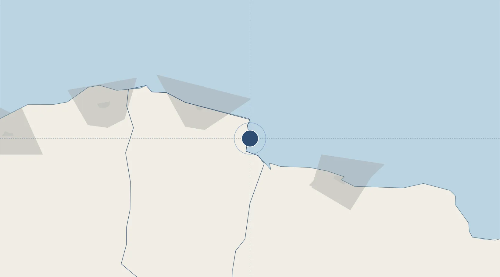
32.4529°, 23.1186°
11,155 ft
Longest runway
1
Runways
33 ft
Elevation
Runway & Layout

Runways · 1
| Runway | Dimensions | Surface | True heading | Lit |
|---|---|---|---|---|
| 14/32 | 11,155 × 148ft | Asphalt | 142° | ✓ |
Airport Specifications
ICAO code
HLBU
Airport class
Medium airport
Scheduled service
No
Runway surface
Asphalt
Served city
Bombah
Location
Nearby Logistics Neighbours
Airports
Cities
- 1Darnah57 km
- 2Tobruk91 km
- 3Marsa El Hariga94 km
- 4Bardiyah202 km
- 5Sallum215 km
Ports
- 1Darnah56 km
- 2Mersa Tobruq91 km
- 3Banghazi291 km
- 4Kali Limenes318 km
- 5Ez Zueitina341 km
Trade Zones
- 1Tobruk Free Zone91 km
- 2Elmreisa (Benghazi) Free Zone296 km
- 3Free Zone of Heraklion356 km
- 4New Alamein City Investment Zone576 km
- 5Free Zone of Piraeus613 km
DatabookThe Record of Consolidated Knowledge
Libya beyond logistics?