Transport Functions
Port
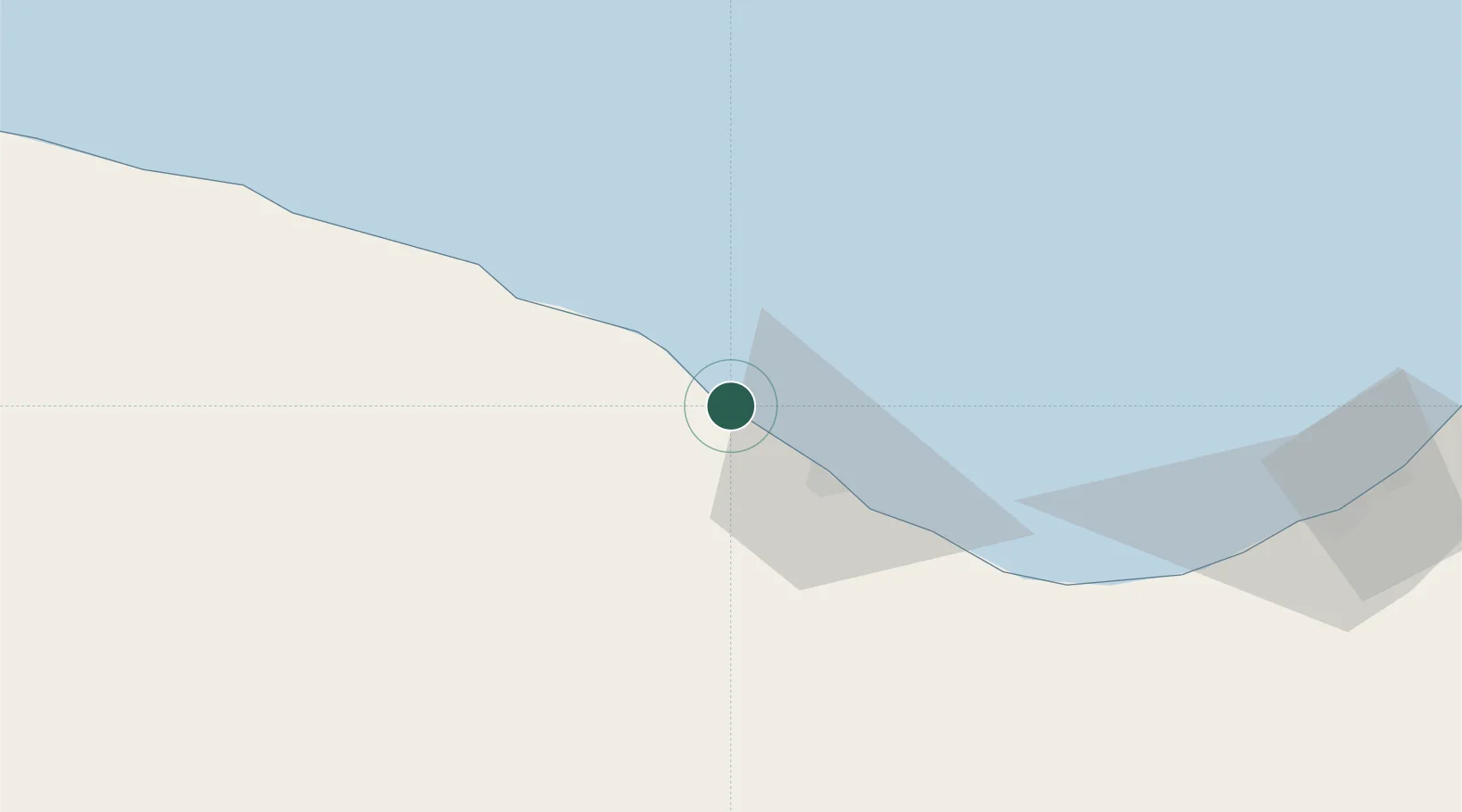
Location
Nearby Logistics Neighbours
Cities
- 1Bingazi (Benghazi)229 km
- 2Banghazi231 km
- 3Bu'ayrat al Hasun265 km
- 4Misurata355 km
- 5Mellitah (Qasr Ahmed)360 km
Ports
- 1Ras Lanuf23 km
- 2Al Burayqah121 km
- 3Ez Zueitina163 km
- 4Banghazi230 km
- 5Misratah355 km
Airports
Trade Zones
- 1Elmreisa (Benghazi) Free Zone219 km
- 2Misurata Free Zone354 km
- 3Tobruk Free Zone554 km
- 4Taminhent Free Zone646 km
- 5Zwara-Abu-Kemmash Free Trade Zone651 km
DatabookThe Record of Consolidated Knowledge
Libya beyond logistics?