Transport Functions
Port
Road
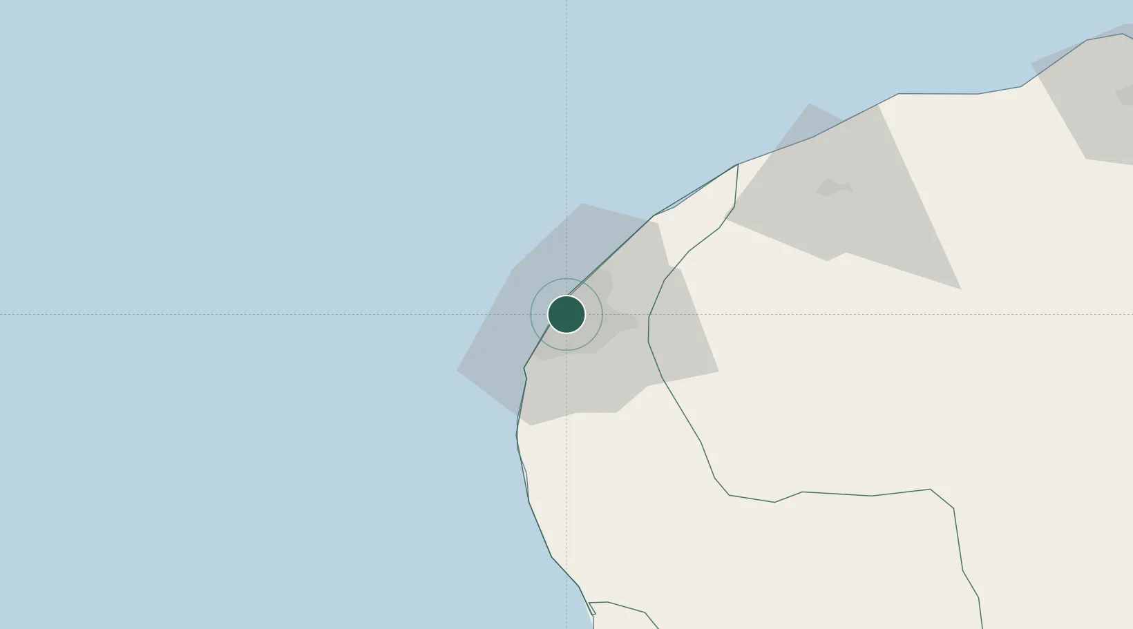
Location
Nearby Logistics Neighbours
Cities
- 1Bingazi (Benghazi)2 km
- 2As Sidr231 km
- 3Darnah252 km
- 4Tobruk369 km
- 5Marsa El Hariga371 km
Ports
- 1Banghazi2 km
- 2Ez Zueitina141 km
- 3Al Burayqah194 km
- 4Ras Lanuf228 km
- 5As Sidr231 km
Airports
Trade Zones
- 1Elmreisa (Benghazi) Free Zone12 km
- 2Tobruk Free Zone367 km
- 3Misurata Free Zone457 km
- 4Free Zone of Heraklion577 km
- 5Malta Freeport655 km
DatabookThe Record of Consolidated Knowledge
Syria beyond logistics?