Channel & Berth Profile
Pilotage, Tugs & Services
Pilotage compulsoryYES
Pilotage availableYES
Pilotage advisableYES
Tug assistanceNO
Salvage tugsNO
Potable waterNO
Diesel bunkersNO
MedicalYES
Garbage disposalNO
Facilities & Capabilities
Container—
Ro-Ro—
Liquid bulk—
Dry bulk—
Oil terminal—
Break bulk—
Dry dock—
RepairsNO
BunkeringNO
Rail link—
Dangerous cargo—
ISPS security—
Harbour Specifications
Harbour size
Very Small
Harbour type
Open Roadstead
Shelter
Poor
Water body
Gulf of Sidra; Mediterranean Sea; North Atlantic Ocean
Tidal range
1 m
Overhead limit
Yes
Pilotage
Yes
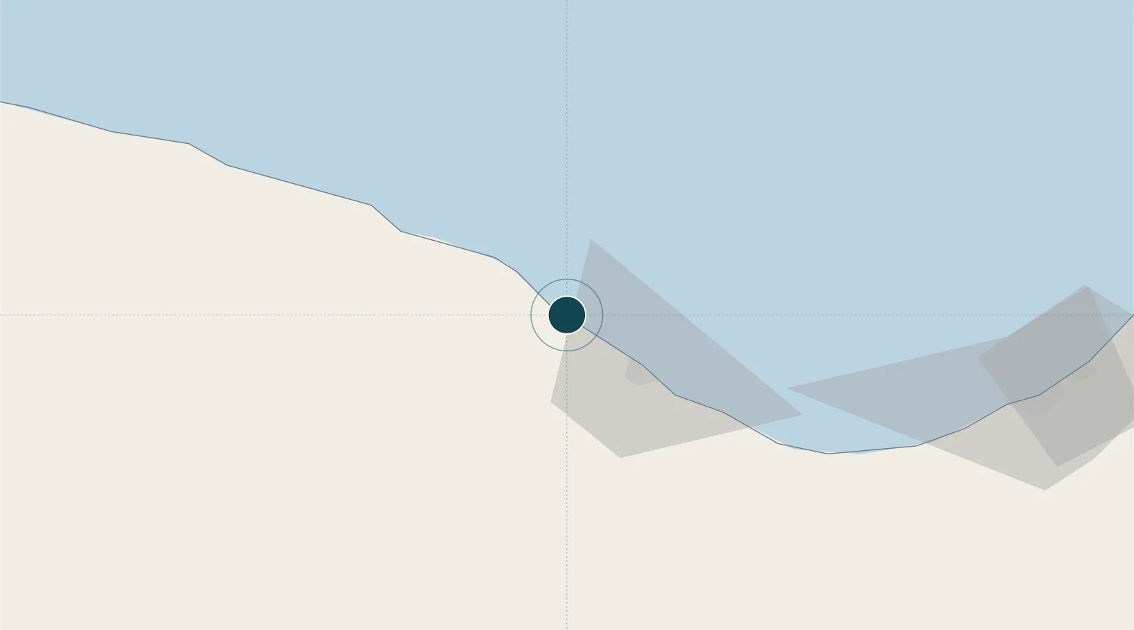
Location
Nearby Logistics Neighbours
Ports
- 1Ras Lanuf23 km
- 2Al Burayqah121 km
- 3Ez Zueitina163 km
- 4Banghazi230 km
- 5Misratah355 km
Cities
- 1Bingazi (Benghazi)229 km
- 2Banghazi231 km
- 3Bu'ayrat al Hasun265 km
- 4Misurata355 km
- 5Mellitah (Qasr Ahmed)360 km
Airports
Trade Zones
- 1Elmreisa (Benghazi) Free Zone219 km
- 2Misurata Free Zone354 km
- 3Tobruk Free Zone554 km
- 4Taminhent Free Zone646 km
- 5Zwara-Abu-Kemmash Free Trade Zone651 km
DatabookThe Record of Consolidated Knowledge
Libya beyond logistics?