Transport Functions
Port
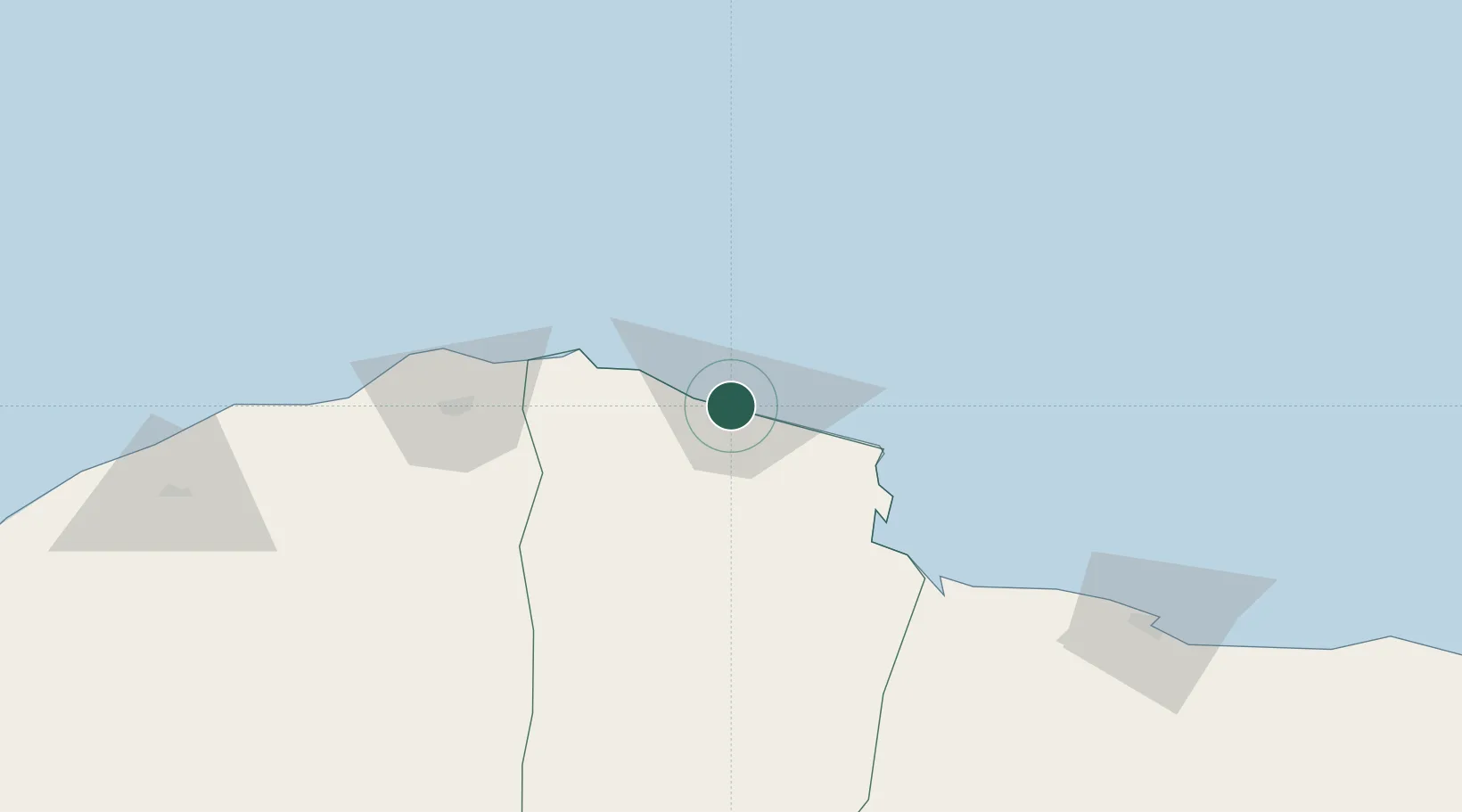
Hub Profile
Place type
Regional capital
Region
Darnah
Population
102,581
Time zone
Africa/Tripoli
Elevation
9 m
Location
Nearby Logistics Neighbours
Cities
- 1Tobruk148 km
- 2Marsa El Hariga151 km
- 3Banghazi252 km
- 4Bingazi (Benghazi)253 km
- 5Bardiyah257 km
Ports
- 1Mersa Tobruq148 km
- 2Banghazi253 km
- 3Kali Limenes315 km
- 4Ez Zueitina324 km
- 5Soudha334 km
Airports
- 1Bombah Airport57 km
- 2Al Abraq International Airport64 km
- 3Tobruk International Airport156 km
- 4Benina International Airport234 km
- 5Chania International Airport338 km
Trade Zones
- 1Tobruk Free Zone148 km
- 2Elmreisa (Benghazi) Free Zone260 km
- 3Free Zone of Heraklion353 km
- 4Free Zone of Piraeus583 km
- 5New Alamein City Investment Zone630 km
DatabookThe Record of Consolidated Knowledge
Libya beyond logistics?