Large airport · Libya

Benina International AirportHLLB
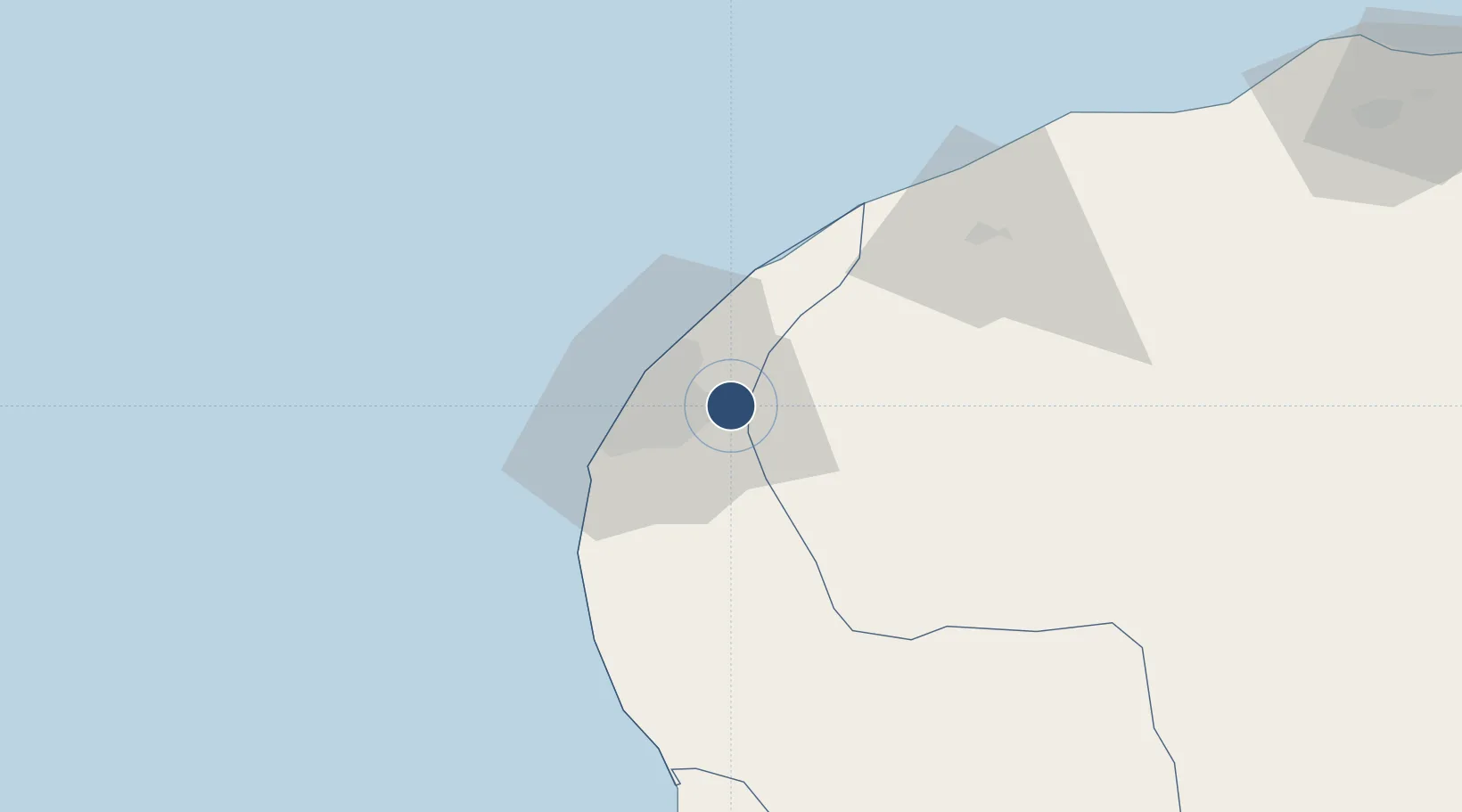
32.0968°, 20.2695°
11,732 ft
Longest runway
2
Runways
433 ft
Elevation

Runway & Layout

Benina International Airport runway & taxiway layout
Runway & taxiway layout — OpenStreetMap (ODbL) / OurAirports

Radio Frequencies

TWR
118.1 MHz
GND
121.3 MHz
APP
126.5 MHz
BENGHAZI APP
DEP
127 MHz
ARR
127 MHz
OurAirports

Navaids

BNA VOR-DME Benina 117.40 MHz
BNA NDB Benina 342 kHz
SRT VOR-DME Sirte 117.00 MHz
OurAirports

Runways · 2

RunwayDimensions SurfaceTrue headingLit
15L/33R 11,732 × 148ft Asphalt 150°
15R/33L 11,731 × 148ft Asphalt 150°
OurAirports

Airport Specifications

IATA code
BEN
OurAirports
ICAO code
HLLB
OurAirports
Airport class
Large airport
OurAirports
Scheduled service
Yes
OurAirports
Runway surface
Asphalt
OurAirports
Served city
Benina
OurAirports

Location

Location of HLLB
Natural Earth 10m (public domain) · Benghazi · HLLB · 32.10, 20.27GoogleOSMYandex

Nearby Logistics Neighbours

Airports
  1. 1Al Abraq International Airport176 km
  2. 2Marsa al Brega Airport202 km
  3. 3Bombah Airport271 km
  4. 4Tobruk International Airport344 km
  5. 5Sirt International Airport / Ghardabiya Airbase367 km
Nearest neighbours — logibook spatial index (haversine) over the source coordinates
Cities
  1. 1Banghazi19 km
  2. 2Bingazi (Benghazi)21 km
  3. 3Darnah234 km
  4. 4As Sidr243 km
  5. 5Tobruk350 km
Nearest neighbours — logibook spatial index (haversine) over the source coordinates
Ports
  1. 1Banghazi21 km
  2. 2Ez Zueitina140 km
  3. 3Al Burayqah197 km
  4. 4Darnah236 km
  5. 5Ras Lanuf239 km
Nearest neighbours — logibook spatial index (haversine) over the source coordinates
Trade Zones
  1. 1Elmreisa (Benghazi) Free Zone26 km
  2. 2Tobruk Free Zone348 km
  3. 3Misurata Free Zone477 km
  4. 4Free Zone of Heraklion564 km
  5. 5Malta Freeport671 km
Nearest neighbours — logibook spatial index (haversine) over the source coordinates
DatabookThe Record of Consolidated Knowledge
Libya beyond logistics?
Browse databook

All Sources

AirportsOurAirports
Public domain
Portsthe NGA World Port Index
Public domain (US gov)
LocationsUN/LOCODE
UN/LOCODE — free
Trade Zonesthe World Bank SEZ database
CC BY 4.0
Trade ZonesOpen Zone Map
CC BY
InfrastructureOpenStreetMap
ODbL 1.0
← Libya airports