Channel & Berth Profile
Pilotage, Tugs & Services
Pilotage compulsoryYES
Pilotage advisableYES
Tug assistanceYES
Potable waterNO
Diesel bunkersNO
MedicalYES
Garbage disposalNO
Facilities & Capabilities
Container—
Ro-Ro—
Liquid bulk—
Dry bulk—
Oil terminal—
Break bulk—
Dry dock—
RepairsNO
BunkeringNO
Rail link—
Dangerous cargo—
ISPS security—
Harbour Specifications
Harbour size
Very Small
Harbour type
Open Roadstead
Water body
Gulf of Sidra; Mediterranean Sea; North Atlantic Ocean
Overhead limit
No
Pilotage
Yes
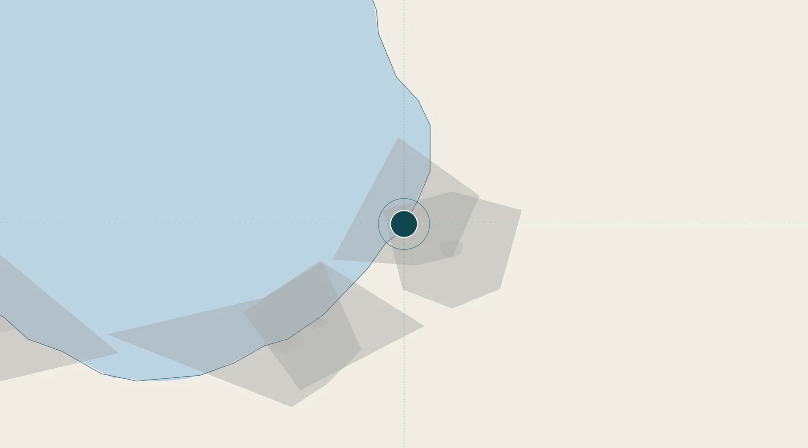
Location
Nearby Logistics Neighbours
Ports
- 1Al Burayqah65 km
- 2Banghazi141 km
- 3Ras Lanuf147 km
- 4As Sidr163 km
- 5Darnah325 km
Cities
- 1Bingazi (Benghazi)141 km
- 2Banghazi141 km
- 3As Sidr163 km
- 4Darnah324 km
- 5Tobruk397 km
Airports
Trade Zones
- 1Elmreisa (Benghazi) Free Zone129 km
- 2Tobruk Free Zone394 km
- 3Misurata Free Zone487 km
- 4Free Zone of Heraklion674 km
- 5Malta Freeport753 km
DatabookThe Record of Consolidated Knowledge
Libya beyond logistics?