UN/LOCODE hub · Libya
LYBEN
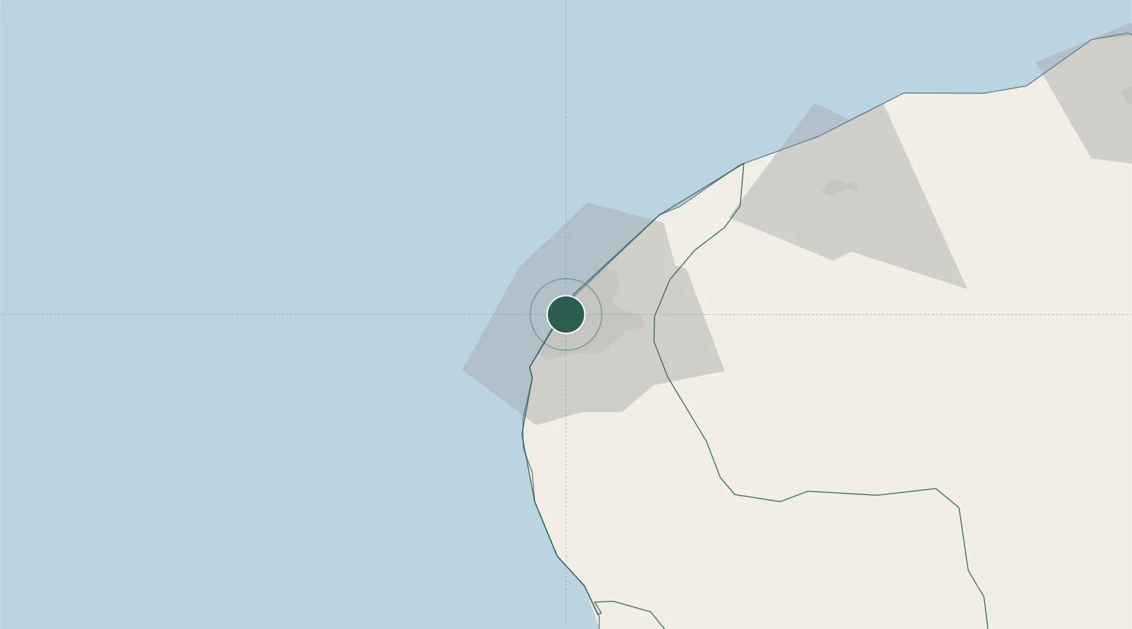
Bingazi (Benghazi)
32.1144°, 20.0481°
3
Transport functions
1
Container terminals
Transport Functions
Port
Airport
Postal
Hub Profile
Logistics facilities
2
Container terminals
1
Location
Nearby Logistics Neighbours
Cities
- 1Banghazi2 km
- 2As Sidr229 km
- 3Darnah253 km
- 4Tobruk371 km
- 5Marsa El Hariga372 km
Ports
- 1Ez Zueitina141 km
- 2Al Burayqah194 km
- 3Ras Lanuf227 km
- 4As Sidr229 km
- 5Darnah255 km
Airports
Trade Zones
- 1Elmreisa (Benghazi) Free Zone12 km
- 2Tobruk Free Zone369 km
- 3Misurata Free Zone456 km
- 4Free Zone of Heraklion579 km
- 5Malta Freeport654 km
DatabookThe Record of Consolidated Knowledge
Libya beyond logistics?