Medium airport · Libya

Marsa al Brega AirportHLMB
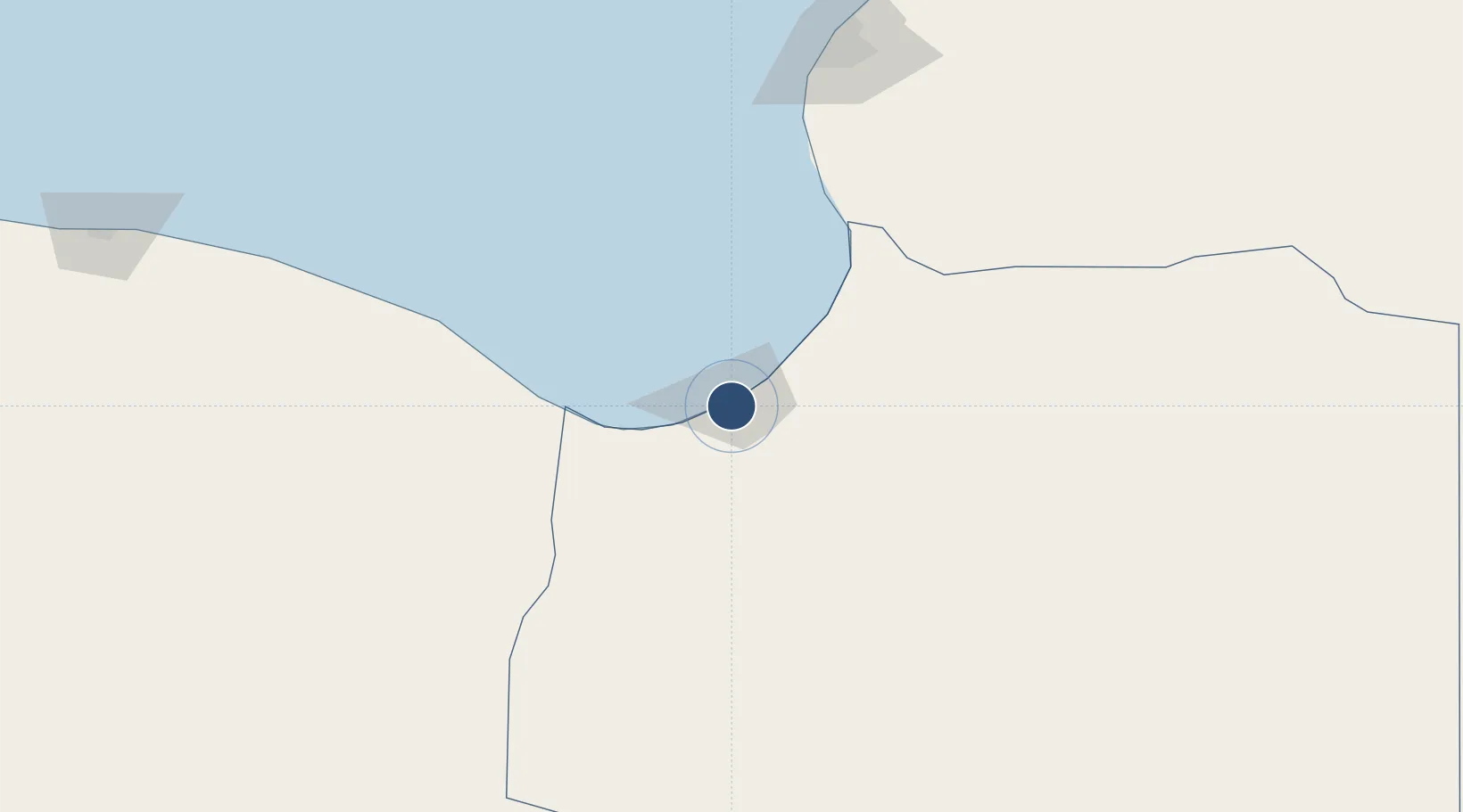
30.3781°, 19.5764°
7,220 ft
Longest runway
1
Runways
50 ft
Elevation

Runway & Layout

Marsa al Brega Airport runway & taxiway layout
Runway & taxiway layout — OpenStreetMap (ODbL) / OurAirports

Navaids

MB NDB Marsa Brega 403 kHz
OurAirports

Runways · 1

RunwayDimensions SurfaceTrue headingLit
15/33 7,220 × 100ft Asphalt 146°
OurAirports

Airport Specifications

IATA code
LMQ
OurAirports
ICAO code
HLMB
OurAirports
Airport class
Medium airport
OurAirports
Scheduled service
No
OurAirports
Runway surface
Asphalt
OurAirports
Served city
Marsa al Brega
OurAirports

Location

Location of HLMB
Natural Earth 10m (public domain) · Ajdabiya · HLMB · 30.38, 19.58GoogleOSMYandex

Nearby Logistics Neighbours

Airports
  1. 1Benina International Airport202 km
  2. 2Sirt International Airport / Ghardabiya Airbase295 km
  3. 3Al Abraq International Airport350 km
  4. 4Bombah Airport408 km
  5. 5Tobruk International Airport444 km
Nearest neighbours — logibook spatial index (haversine) over the source coordinates
Cities
  1. 1As Sidr119 km
  2. 2Bingazi (Benghazi)198 km
  3. 3Banghazi199 km
  4. 4Bu'ayrat al Hasun384 km
  5. 5Darnah393 km
Nearest neighbours — logibook spatial index (haversine) over the source coordinates
Ports
  1. 1Al Burayqah5 km
  2. 2Ez Zueitina69 km
  3. 3Ras Lanuf98 km
  4. 4As Sidr119 km
  5. 5Banghazi199 km
Nearest neighbours — logibook spatial index (haversine) over the source coordinates
Trade Zones
  1. 1Elmreisa (Benghazi) Free Zone187 km
  2. 2Tobruk Free Zone456 km
  3. 3Misurata Free Zone468 km
  4. 4Free Zone of Heraklion743 km
  5. 5Taminhent Free Zone764 km
Nearest neighbours — logibook spatial index (haversine) over the source coordinates
DatabookThe Record of Consolidated Knowledge
Libya beyond logistics?
Browse databook

All Sources

AirportsOurAirports
Public domain
Portsthe NGA World Port Index
Public domain (US gov)
LocationsUN/LOCODE
UN/LOCODE — free
Trade Zonesthe World Bank SEZ database
CC BY 4.0
Trade ZonesOpen Zone Map
CC BY
InfrastructureOpenStreetMap
ODbL 1.0
← Libya airports