Seaport · Libya
BanghaziLYBEN
32.1167°, 20.0500°
12.5 m
Channel depth
1
Container terminals
72.5
Port liner connectivity
Channel & Berth Profile
Pilotage, Tugs & Services
Pilotage compulsoryYES
Pilotage advisableYES
Tug assistanceYES
Shore powerYES
Potable waterYES
Diesel bunkersYES
MedicalYES
Facilities & Capabilities
Container—
Ro-Ro—
Liquid bulk—
Dry bulk—
Oil terminal—
Break bulk—
Dry dockNO
RepairsNO
BunkeringYES
Rail linkYES
Dangerous cargo—
ISPS security—
Harbour Specifications
Harbour size
Medium
Harbour type
Coastal (Breakwater)
Shelter
Good
Water body
Mediterranean Sea; North Atlantic Ocean
Tidal range
1 m
Pilotage
Yes
Liner Connectivity
72.5
PLSCI
Port Liner Shipping Connectivity Index for Banghazi, as published by UNCTAD for the latest available quarter. Higher values indicate stronger scheduled liner-shipping integration.
Shown relative to the highest per-port PLSCI in the dataset (1,657.9).
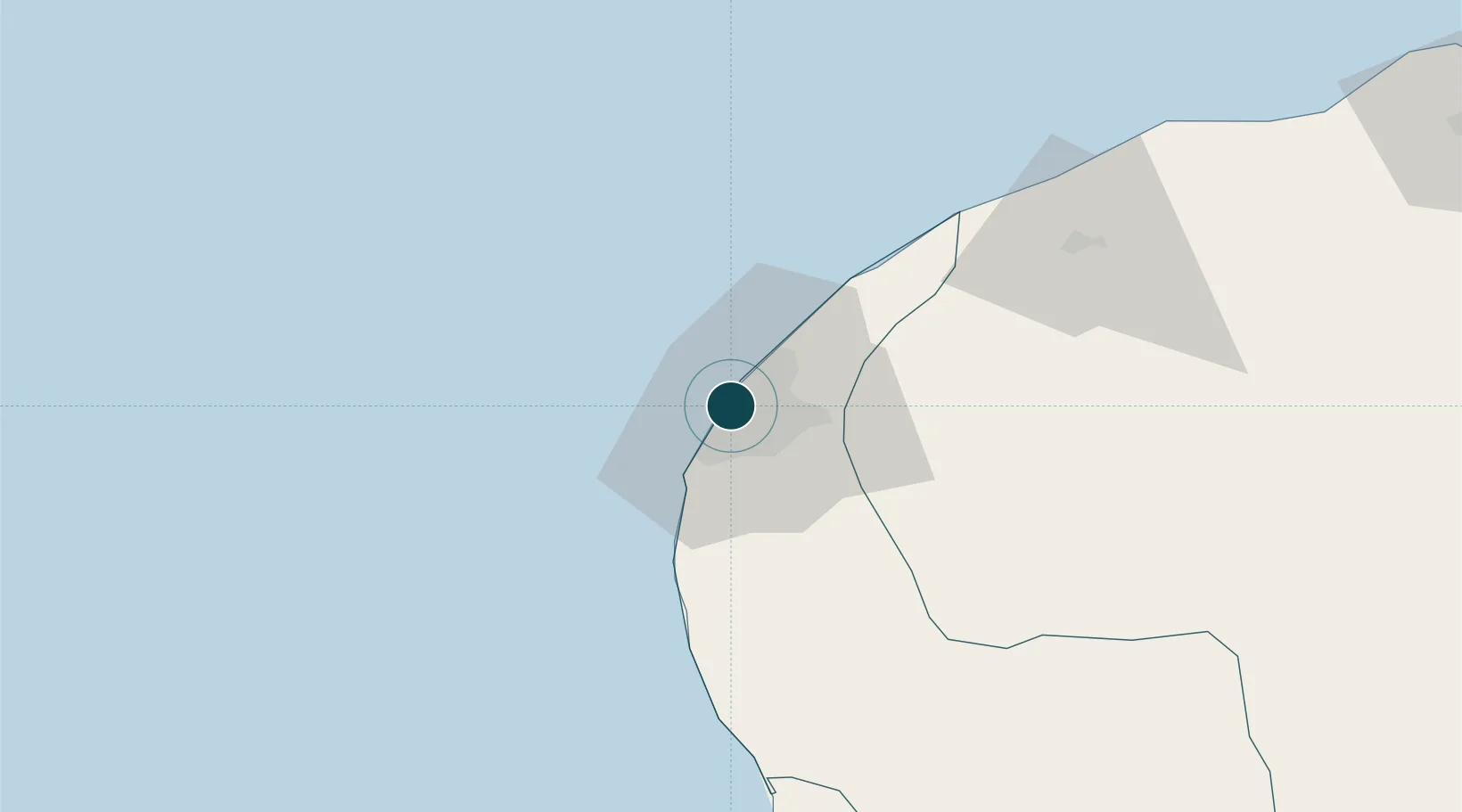
Location
Container Terminals · 1
BENGHAZI CONTAINER TERMINAL
BCT LIBYAN PORTS COMPNY (LPC)
Nearby Logistics Neighbours
Ports
- 1Ez Zueitina141 km
- 2Al Burayqah194 km
- 3Ras Lanuf227 km
- 4As Sidr230 km
- 5Darnah255 km
Cities
- 1Banghazi2 km
- 2As Sidr230 km
- 3Darnah253 km
- 4Tobruk370 km
- 5Marsa El Hariga372 km
Airports
Trade Zones
- 1Elmreisa (Benghazi) Free Zone12 km
- 2Tobruk Free Zone368 km
- 3Misurata Free Zone456 km
- 4Free Zone of Heraklion579 km
- 5Malta Freeport654 km
DatabookThe Record of Consolidated Knowledge
Libya beyond logistics?