Free Trade Zone · Libya

Misurata Free Zone Inactive
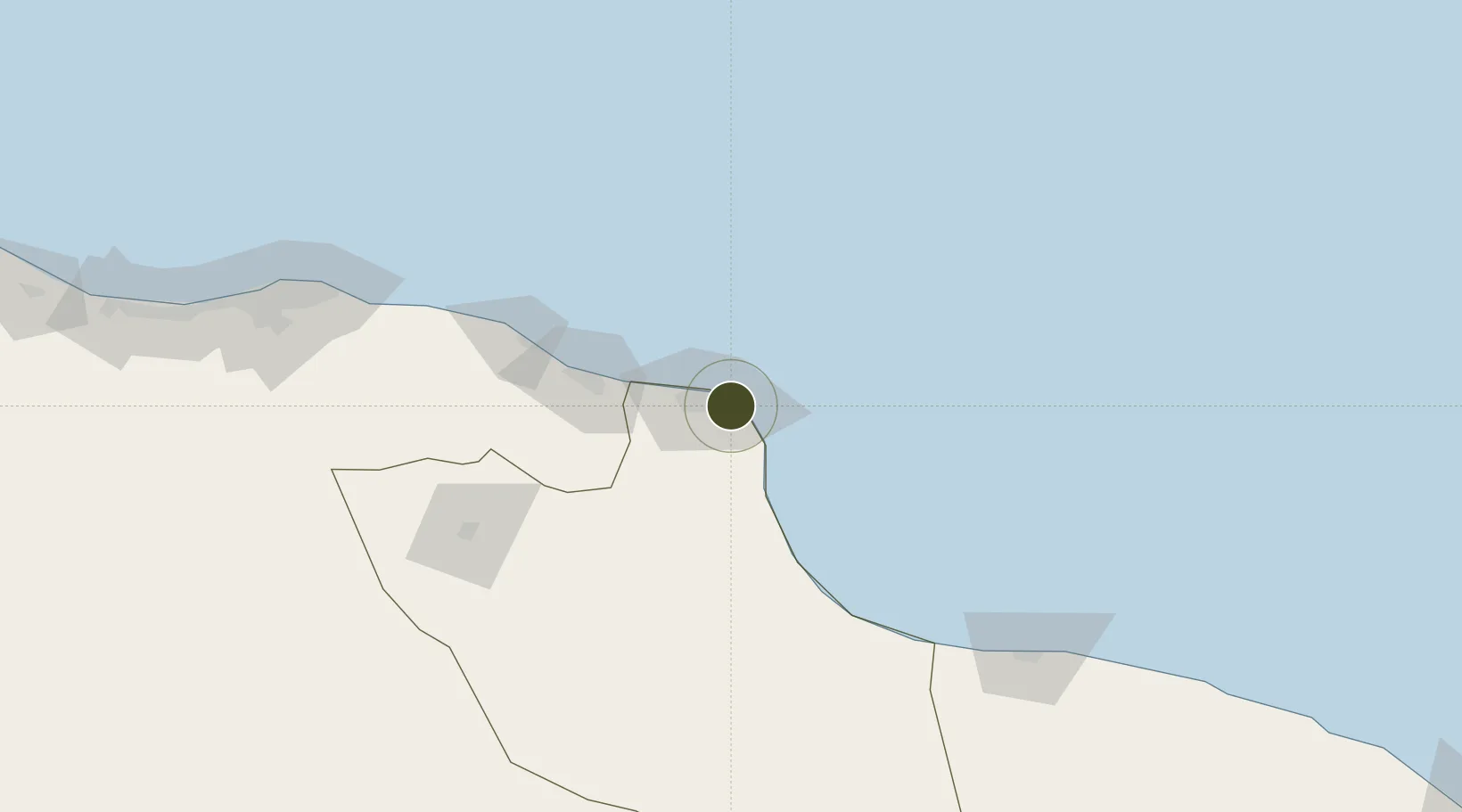
32.3386°, 15.2121°
3,539 ha
Zone area
3.2 km
Nearest port
14.3 km
Nearest airport

Gateway access

Nearest neighbours — logibook spatial index (haversine) over the source coordinates

Zone profile

Zone type
Free Trade Zone
Open Zone Map
Region
Misratah
Open Zone Map
Status
Inactive
Open Zone Map
Management
Public
Open Zone Map
Operator
People's Committee General (Outdated), Misurata Free Zone
Open Zone Map
Legal framework
Law (32) of 2006 on Free Zones
Open Zone Map

Location

Location of ozm-2716
Natural Earth 10m (public domain) · Misratah · ozm-2716 · 32.34, 15.21GoogleOSMYandex

Nearby Logistics Neighbours

Ports
  1. 1Misratah3 km
  2. 2Khoms97 km
  3. 3Mina Tarabulus (Tripoli)200 km
  4. 4Az Zawiya239 km
  5. 5Bouri Oil Field295 km
Nearest neighbours — logibook spatial index (haversine) over the source coordinates
Airports
  1. 1Misrata International Airport14 km
  2. 2Mitiga International Airport190 km
  3. 3Sirt International Airport / Ghardabiya Airbase194 km
  4. 4Okba Ibn Nafa Air Base312 km
  5. 5Malta International Airport396 km
Nearest neighbours — logibook spatial index (haversine) over the source coordinates
Cities
  1. 1Misurata3 km
  2. 2Mellitah (Qasr Ahmed)32 km
  3. 3El Choms95 km
  4. 4Al Khums98 km
  5. 5Bu'ayrat al Hasun115 km
Nearest neighbours — logibook spatial index (haversine) over the source coordinates
Trade Zones
  1. 1Zwara-Abu-Kemmash Free Trade Zone305 km
  2. 2Taminhent Free Zone311 km
  3. 3Ben Guerdane Economic Free Zone354 km
  4. 4Malta Freeport392 km
  5. 5Zarzis Park of Economic Activities403 km
Nearest neighbours — logibook spatial index (haversine) over the source coordinates
DatabookThe Record of Consolidated Knowledge
Libya beyond logistics?
Browse databook

All Sources

Trade ZonesOpen Zone Map
CC BY
Portsthe NGA World Port Index
Public domain (US gov)
AirportsOurAirports
Public domain
LocationsUN/LOCODE
UN/LOCODE — free
← Libya trade zones