Transport Functions
Port
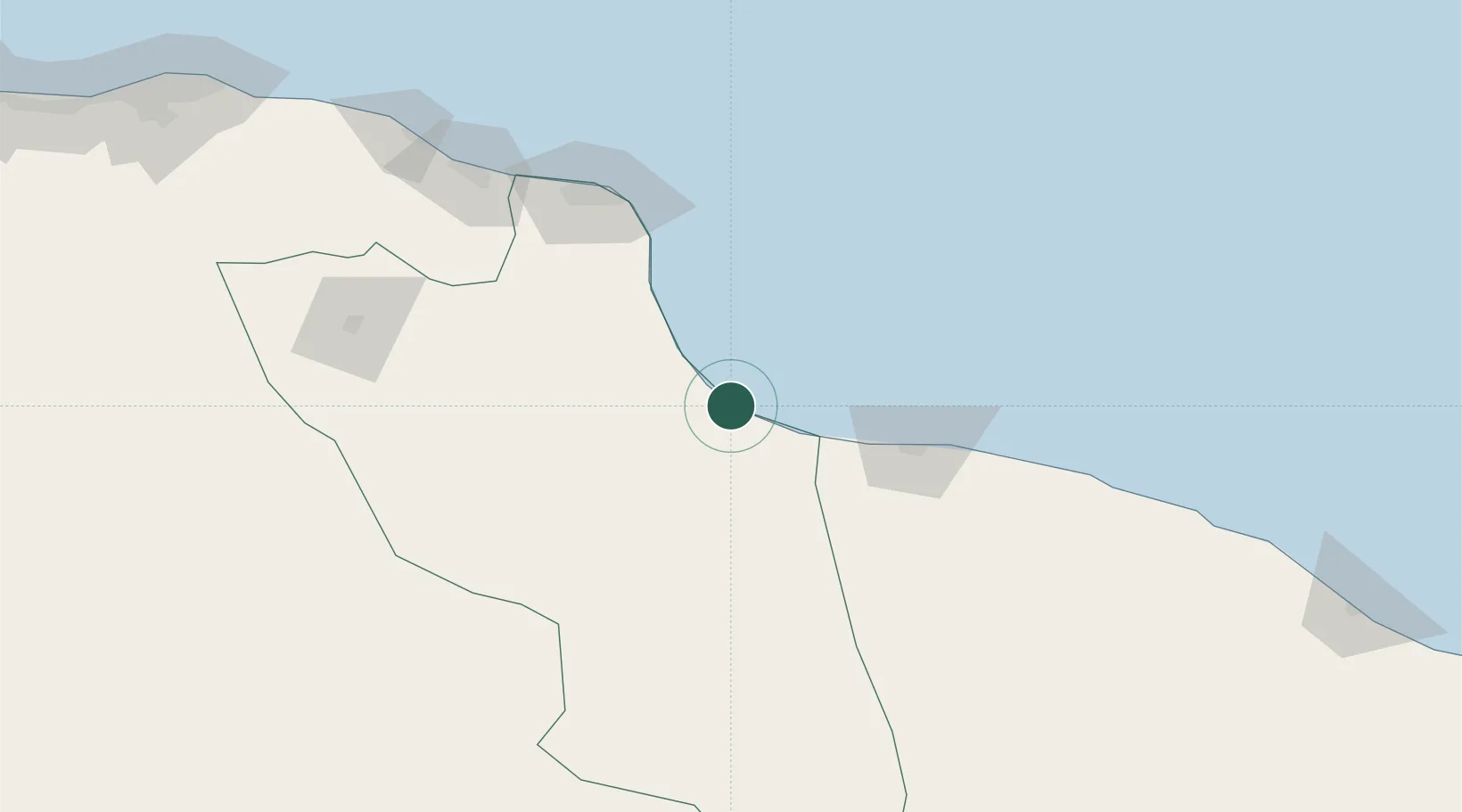
Location
Nearby Logistics Neighbours
Cities
- 1Misurata117 km
- 2Mellitah (Qasr Ahmed)138 km
- 3El Choms196 km
- 4Al Khums200 km
- 5As Sidr265 km
Ports
- 1Misratah118 km
- 2Khoms199 km
- 3As Sidr265 km
- 4Ras Lanuf288 km
- 5Mina Tarabulus (Tripoli)292 km
Airports
Trade Zones
- 1Misurata Free Zone115 km
- 2Taminhent Free Zone381 km
- 3Zwara-Abu-Kemmash Free Trade Zone387 km
- 4Elmreisa (Benghazi) Free Zone411 km
- 5Ben Guerdane Economic Free Zone438 km
DatabookThe Record of Consolidated Knowledge
Libya beyond logistics?