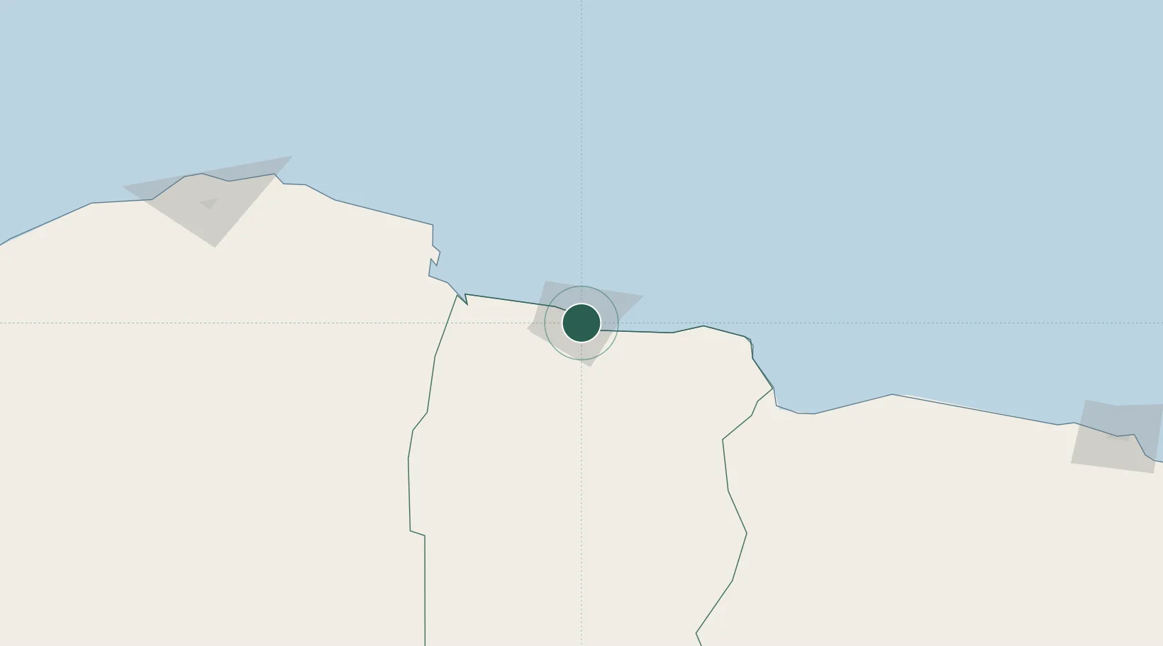
UN/LOCODE hub · Libya
LYMHR

Marsa El Hariga

32.0500°, 24.0000°
1
Transport functions

Transport Functions

Port
UN/LOCODE

Location

Location of LYMHR
Natural Earth 10m (public domain) · Al Butnan · LYMHR · 32.05, 24.00GoogleOSMYandex

Nearby Logistics Neighbours

Cities
  1. 1Tobruk4 km
  2. 2Bardiyah109 km
  3. 3Sallum121 km
  4. 4Darnah151 km
  5. 5Polychnitos Lesvou305 km
Nearest neighbours — logibook spatial index (haversine) over the source coordinates
Ports
  1. 1Mersa Tobruq4 km
  2. 2Darnah150 km
  3. 3Mersa Matruh316 km
  4. 4Kali Limenes330 km
  5. 5Rethimnon371 km
Nearest neighbours — logibook spatial index (haversine) over the source coordinates
Airports
  1. 1Tobruk International Airport23 km
  2. 2Bombah Airport94 km
  3. 3Al Abraq International Airport209 km
  4. 4Mersa Matruh International Airport315 km
  5. 5Siwa Oasis North Airport333 km
Nearest neighbours — logibook spatial index (haversine) over the source coordinates
Trade Zones
  1. 1Tobruk Free Zone4 km
  2. 2Free Zone of Heraklion365 km
  3. 3Elmreisa (Benghazi) Free Zone375 km
  4. 4New Alamein City Investment Zone484 km
  5. 5Alexandria Public Free Zone559 km
Nearest neighbours — logibook spatial index (haversine) over the source coordinates
DatabookThe Record of Consolidated Knowledge
Libya beyond logistics?
Browse databook

All Sources

LocationsUN/LOCODE
UN/LOCODE — free
Portsthe NGA World Port Index
Public domain (US gov)
AirportsOurAirports
Public domain
Trade Zonesthe World Bank SEZ database
CC BY 4.0
Trade ZonesOpen Zone Map
CC BY
← Libya locations