Seaport · Liberia
MonroviaLRMLW
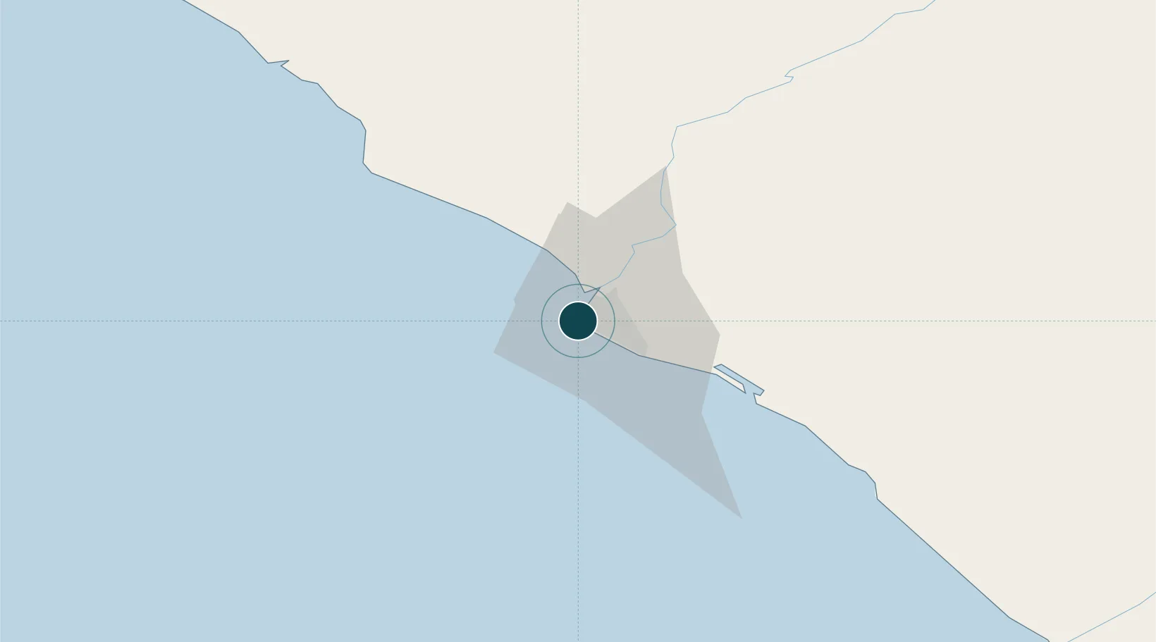
6.3167°, -10.8167°
7.9 m
Channel depth
1
Container terminals
38.1
Port liner connectivity
Channel & Berth Profile
Pilotage, Tugs & Services
Pilotage compulsoryYES
Pilotage availableYES
Pilotage advisableYES
Tug assistanceYES
Shore powerYES
Potable waterYES
Diesel bunkersYES
MedicalYES
Garbage disposalYES
Facilities & Capabilities
Container—
Ro-Ro—
Liquid bulk—
Dry bulk—
Oil terminal—
Break bulk—
Dry dock—
RepairsNO
BunkeringYES
Rail linkYES
Dangerous cargo—
ISPS security—
Harbour Specifications
Harbour size
Small
Harbour type
Coastal (Breakwater)
Shelter
Fair
Water body
North Atlantic Ocean
Tidal range
1 m
Pilotage
Yes
Liner Connectivity
38.1
PLSCI
Port Liner Shipping Connectivity Index for Monrovia, as published by UNCTAD for the latest available quarter. Higher values indicate stronger scheduled liner-shipping integration.
Shown relative to the highest per-port PLSCI in the dataset (1,657.9).
Location
Container Terminals · 1
APM TERMINALS LIBERIA
APMT APM TERMINALS LIBERIA LTD.
Nearby Logistics Neighbours
Ports
- 1Buchanan97 km
- 2Bonthe230 km
- 3Greenville245 km
- 4Pepel352 km
- 5Freetown361 km
Cities
- 1River Cess166 km
- 2Kissy354 km
- 3Freetown356 km
- 4Kosagi367 km
- 5Harper406 km
Airports
- 1Spriggs Payne Airport7 km
- 2Roberts International Airport51 km
- 3Kenema Airport180 km
- 4Bo Airport209 km
- 5Greenville/Sinoe Airport241 km
Trade Zones
DatabookThe Record of Consolidated Knowledge
Liberia beyond logistics?