Runway & Layout

Airport Specifications
IATA code
SNI
ICAO code
GLGE
Airport class
Medium airport
Scheduled service
No
Served city
Greenville
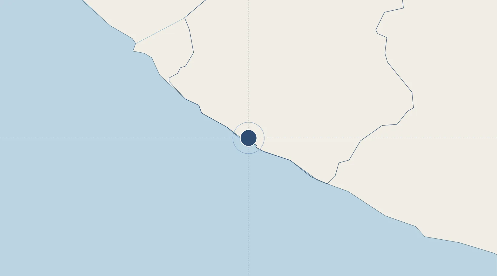
Location
Nearby Logistics Neighbours
Airports
- 1Roberts International Airport196 km
- 2Spriggs Payne Airport234 km
- 3San Pedro Airport268 km
- 4Man Airport298 km
- 5Daloa Airport347 km
Cities
- 1River Cess75 km
- 2Harper167 km
- 3Monrovia240 km
- 4San-Pédro272 km
- 5Kosagi370 km
Ports
- 1Greenville6 km
- 2Buchanan145 km
- 3Cape Palmas167 km
- 4Monrovia241 km
- 5San Pedro274 km
Trade Zones
- 1Buchanan Special Economic Zone142 km
- 2Monrovia Industrial Park234 km
- 3Freeport of Monrovia241 km
- 4San Pedro Economic Zone270 km
- 5Makona River Free Zone Development Project407 km
DatabookThe Record of Consolidated Knowledge
Liberia beyond logistics?