Medium airport · Sierra Leone
Bo AirportGFBO
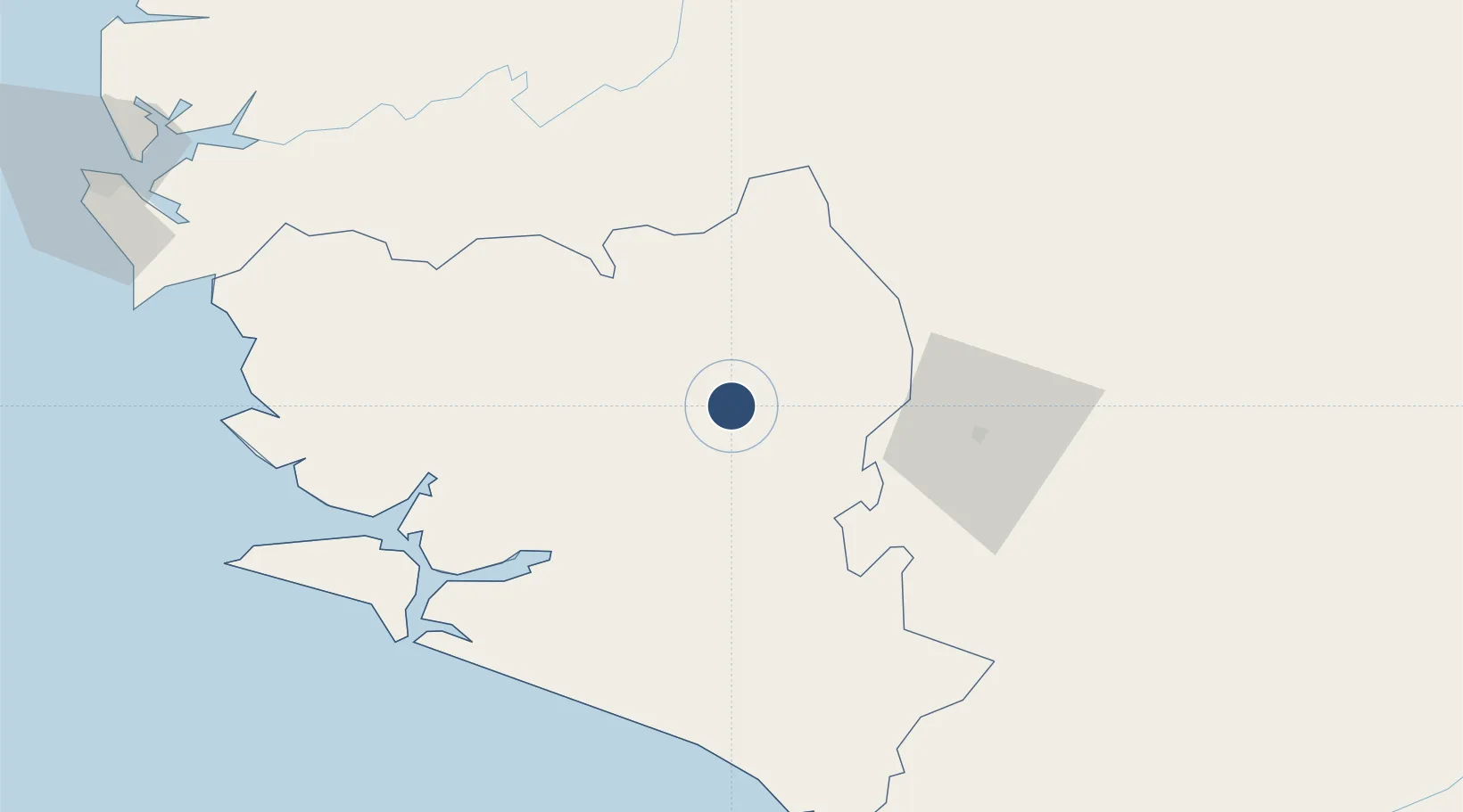
7.9444°, -11.7610°
4,003 ft
Longest runway
1
Runways
328 ft
Elevation
Runway & Layout

Runways · 1
| Runway | Dimensions | Surface | True heading | Lit |
|---|---|---|---|---|
| 04/22 | 4,003 × 66ft | Dirt | — | — |
Airport Specifications
IATA code
KBS
ICAO code
GFBO
Airport class
Medium airport
Scheduled service
No
Runway surface
Dirt
Served city
Bo
Location
Nearby Logistics Neighbours
Airports
- 1Kenema Airport65 km
- 2Yengema Airport108 km
- 3Lungi International Airport175 km
- 4Spriggs Payne Airport215 km
- 5Roberts International Airport245 km
Cities
- 1Kissy167 km
- 2Freetown169 km
- 3Monrovia209 km
- 4Kindia263 km
- 5Conakry Eco275 km
DatabookThe Record of Consolidated Knowledge
Sierra Leone beyond logistics?