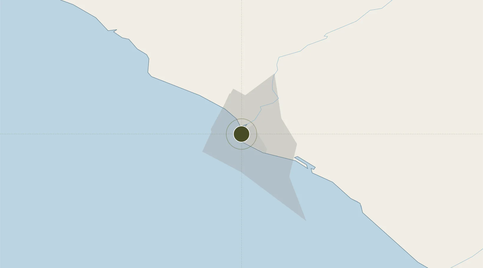
Free Trade Zone · Liberia

Freeport of Monrovia Active

6.3432°, -10.7928°
303 ha
Zone area
4.0 km
Nearest port
7.1 km
Nearest airport

Gateway access

Nearest neighbours — logibook spatial index (haversine) over the source coordinates

Zone profile

Zone type
Free Trade Zone
Open Zone Map
Region
Montserrado
Open Zone Map
Status
Active
Open Zone Map
Management
Private
Open Zone Map
Operator
APM Terminal
Open Zone Map
Legal framework
Liberia Special Economic Zone Act of 2017
Open Zone Map

Location

Location of ozm-2713
Natural Earth 10m (public domain) · Montserrado · ozm-2713 · 6.34, -10.79GoogleOSMYandex

Nearby Logistics Neighbours

Ports
  1. 1Monrovia4 km
  2. 2Buchanan96 km
  3. 3Bonthe230 km
  4. 4Greenville245 km
  5. 5Pepel352 km
Nearest neighbours — logibook spatial index (haversine) over the source coordinates
Airports
  1. 1Spriggs Payne Airport7 km
  2. 2Roberts International Airport49 km
  3. 3Kenema Airport178 km
  4. 4Bo Airport208 km
  5. 5Greenville/Sinoe Airport241 km
Nearest neighbours — logibook spatial index (haversine) over the source coordinates
Cities
  1. 1Monrovia1 km
  2. 2River Cess166 km
  3. 3Kissy354 km
  4. 4Freetown356 km
  5. 5Kosagi363 km
Nearest neighbours — logibook spatial index (haversine) over the source coordinates
Trade Zones
  1. 1Monrovia Industrial Park7 km
  2. 2Buchanan Special Economic Zone101 km
  3. 3Makona River Free Zone Development Project244 km
  4. 4First Step Economic Opportunity Zone Newton329 km
  5. 5Guoji Industry and Trade Zone358 km
Nearest neighbours — logibook spatial index (haversine) over the source coordinates
DatabookThe Record of Consolidated Knowledge
Liberia beyond logistics?
Browse databook

All Sources

Trade ZonesOpen Zone Map
CC BY
Portsthe NGA World Port Index
Public domain (US gov)
AirportsOurAirports
Public domain
LocationsUN/LOCODE
UN/LOCODE — free
← Liberia trade zones