Medium airport · Liberia

Spriggs Payne AirportGLMR
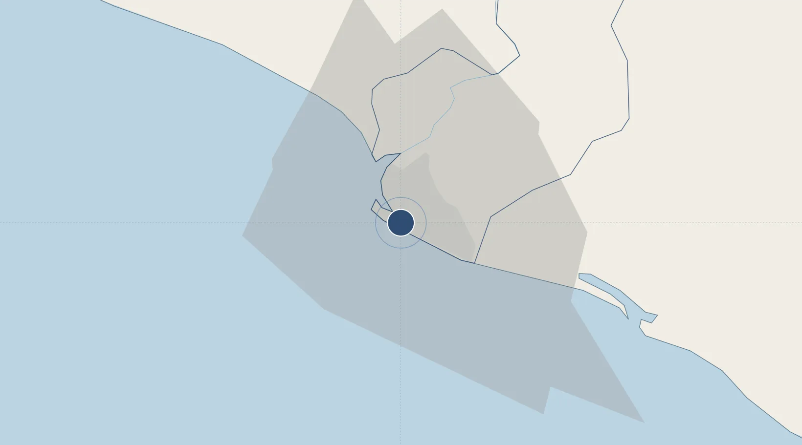
6.2891°, -10.7587°
6,000 ft
Longest runway
1
Runways
25 ft
Elevation

Runway & Layout

Spriggs Payne Airport runway & taxiway layout
Runway & taxiway layout — OpenStreetMap (ODbL) / OurAirports

Radio Frequencies

TWR
118.7 MHz
SPRIGGS TWR
APP
124.5 MHz
ROBERTS APP
OurAirports

Navaids

SM NDB Monrovia Spriggs Payne 315 kHz
OurAirports

Runways · 1

RunwayDimensions SurfaceTrue headingLit
05/23 6,000 × 100ft Asphalt 040°
OurAirports

Airport Specifications

IATA code
MLW
OurAirports
ICAO code
GLMR
OurAirports
Airport class
Medium airport
OurAirports
Scheduled service
Yes
OurAirports
Runway surface
Asphalt
OurAirports
Served city
Monrovia
OurAirports

Location

Location of GLMR
Natural Earth 10m (public domain) · Montserrado · GLMR · 6.29, -10.76GoogleOSMYandex

Nearby Logistics Neighbours

Airports
  1. 1Roberts International Airport44 km
  2. 2Kenema Airport185 km
  3. 3Bo Airport215 km
  4. 4Greenville/Sinoe Airport234 km
  5. 5Yengema Airport260 km
Nearest neighbours — logibook spatial index (haversine) over the source coordinates
Cities
  1. 1Monrovia6 km
  2. 2River Cess159 km
  3. 3Kissy361 km
  4. 4Freetown363 km
  5. 5Kosagi363 km
Nearest neighbours — logibook spatial index (haversine) over the source coordinates
Ports
  1. 1Monrovia7 km
  2. 2Buchanan90 km
  3. 3Bonthe237 km
  4. 4Greenville238 km
  5. 5Pepel359 km
Nearest neighbours — logibook spatial index (haversine) over the source coordinates
Trade Zones
  1. 1Monrovia Industrial Park6 km
  2. 2Freeport of Monrovia7 km
  3. 3Buchanan Special Economic Zone94 km
  4. 4Makona River Free Zone Development Project249 km
  5. 5First Step Economic Opportunity Zone Newton336 km
Nearest neighbours — logibook spatial index (haversine) over the source coordinates
DatabookThe Record of Consolidated Knowledge
Liberia beyond logistics?
Browse databook

All Sources

AirportsOurAirports
Public domain
Portsthe NGA World Port Index
Public domain (US gov)
LocationsUN/LOCODE
UN/LOCODE — free
Trade Zonesthe World Bank SEZ database
CC BY 4.0
Trade ZonesOpen Zone Map
CC BY
InfrastructureOpenStreetMap
ODbL 1.0
← Liberia airports