Free Trade Zone · Sierra Leone

First Step Economic Opportunity Zone Newton Inactive
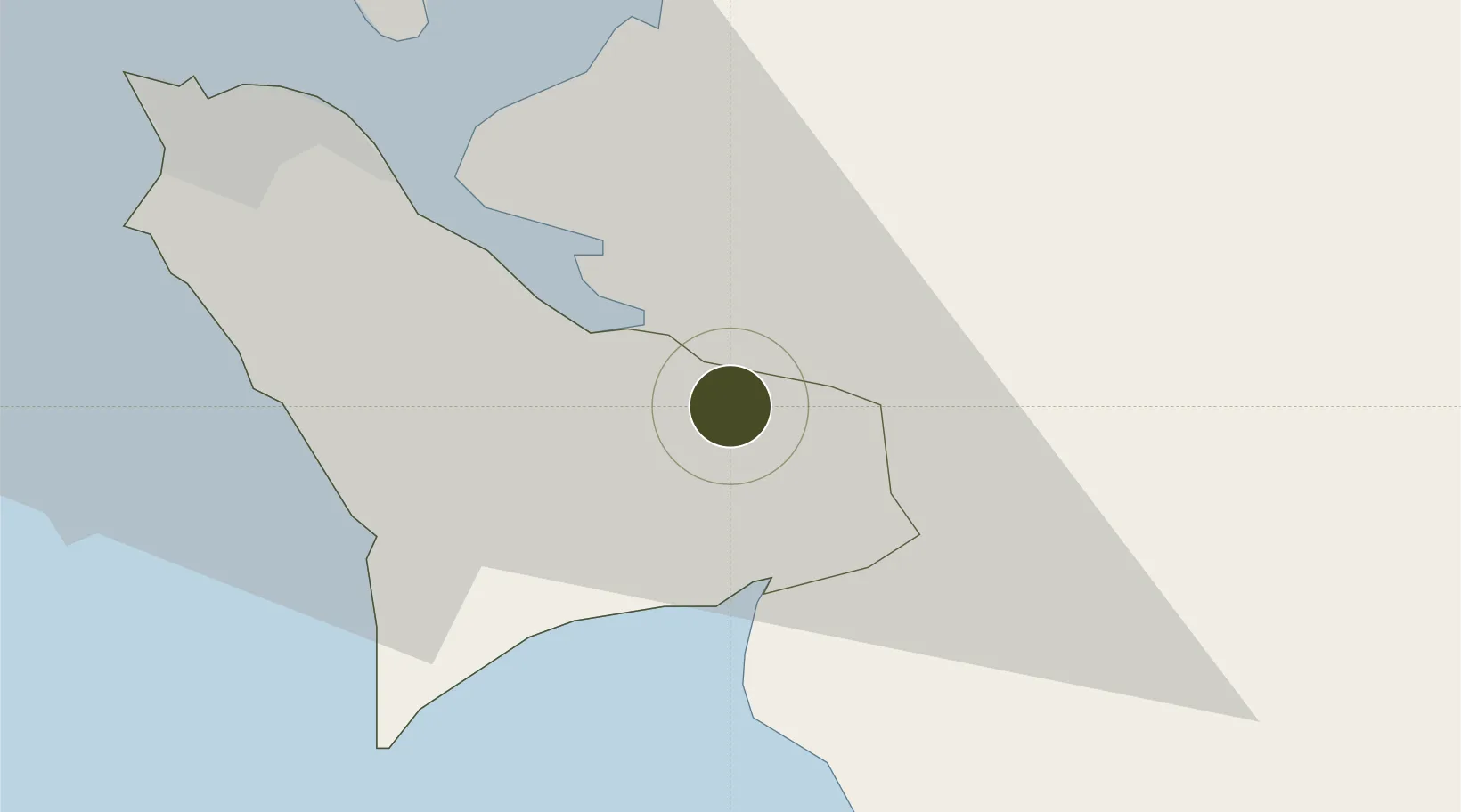
8.3373°, -12.9921°
21 ha
Zone area
28.1 km
Nearest port
38.3 km
Nearest airport

Gateway access

Nearest neighbours — logibook spatial index (haversine) over the source coordinates

Zone profile

Zone type
Free Trade Zone
Open Zone Map
Region
Western
Open Zone Map
Status
Inactive
Open Zone Map
Management
Private
Open Zone Map
Operator
First Step Ltd.
Open Zone Map
Legal framework
Sierra Leone Special Economic Zone Policy of 2013
Open Zone Map

Location

Location of ozm-4127
Natural Earth 10m (public domain) · Western · ozm-4127 · 8.34, -12.99GoogleOSMYandex

Nearby Logistics Neighbours

Ports
  1. 1Pepel28 km
  2. 2Freetown32 km
  3. 3Benti95 km
  4. 4Bonthe105 km
  5. 5Conakry153 km
Nearest neighbours — logibook spatial index (haversine) over the source coordinates
Airports
  1. 1Lungi International Airport38 km
  2. 2Bo Airport142 km
  3. 3Ahmed Sékou Touré International Airport154 km
  4. 4Kenema Airport206 km
  5. 5Yengema Airport216 km
Nearest neighbours — logibook spatial index (haversine) over the source coordinates
Cities
  1. 1Kissy26 km
  2. 2Freetown27 km
  3. 3Conakry Eco151 km
  4. 4Conakry155 km
  5. 5Dubreka170 km
Nearest neighbours — logibook spatial index (haversine) over the source coordinates
Trade Zones
  1. 1Guoji Industry and Trade Zone29 km
  2. 2New Koya City Aerotropolis (Airport City) and Economic Zone39 km
  3. 3Makona River Free Zone Development Project297 km
  4. 4Boké Special Economic Zone317 km
  5. 5Freeport of Monrovia329 km
Nearest neighbours — logibook spatial index (haversine) over the source coordinates
DatabookThe Record of Consolidated Knowledge
Sierra Leone beyond logistics?
Browse databook

All Sources

Trade ZonesOpen Zone Map
CC BY
Portsthe NGA World Port Index
Public domain (US gov)
AirportsOurAirports
Public domain
LocationsUN/LOCODE
UN/LOCODE — free
← Sierra Leone trade zones