Export Processing Zone · Liberia

Monrovia Industrial Park Active
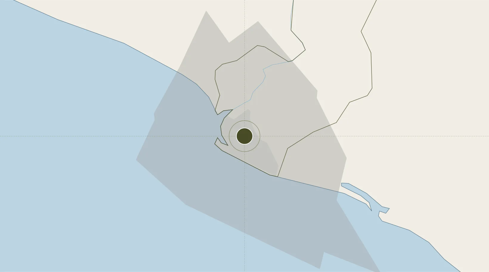
6.3322°, -10.7269°
450 ha
Zone area
10.1 km
Nearest port
5.9 km
Nearest airport

Gateway access

Nearest neighbours — logibook spatial index (haversine) over the source coordinates

Zone profile

Zone type
Export Processing Zone
Open Zone Map
Region
Montserrado
Open Zone Map
Status
Active
Open Zone Map
Management
Private
Open Zone Map
Operator
Ministry of Commerce and Industry, Bureau of Industry
Open Zone Map
Legal framework
Liberia Special Economic Zone Act of 2017
Open Zone Map

Location

Location of ozm-2711
Natural Earth 10m (public domain) · Montserrado · ozm-2711 · 6.33, -10.73GoogleOSMYandex

Nearby Logistics Neighbours

Ports
  1. 1Monrovia10 km
  2. 2Buchanan90 km
  3. 3Bonthe237 km
  4. 4Greenville239 km
  5. 5Pepel358 km
Nearest neighbours — logibook spatial index (haversine) over the source coordinates
Airports
  1. 1Spriggs Payne Airport6 km
  2. 2Roberts International Airport42 km
  3. 3Kenema Airport181 km
  4. 4Bo Airport213 km
  5. 5Greenville/Sinoe Airport234 km
Nearest neighbours — logibook spatial index (haversine) over the source coordinates
Cities
  1. 1Monrovia7 km
  2. 2River Cess159 km
  3. 3Kosagi358 km
  4. 4Kissy360 km
  5. 5Freetown362 km
Nearest neighbours — logibook spatial index (haversine) over the source coordinates
Trade Zones
  1. 1Freeport of Monrovia7 km
  2. 2Buchanan Special Economic Zone94 km
  3. 3Makona River Free Zone Development Project243 km
  4. 4First Step Economic Opportunity Zone Newton335 km
  5. 5Guoji Industry and Trade Zone364 km
Nearest neighbours — logibook spatial index (haversine) over the source coordinates
DatabookThe Record of Consolidated Knowledge
Liberia beyond logistics?
Browse databook

All Sources

Trade ZonesOpen Zone Map
CC BY
Portsthe NGA World Port Index
Public domain (US gov)
AirportsOurAirports
Public domain
LocationsUN/LOCODE
UN/LOCODE — free
← Liberia trade zones