Channel & Berth Profile
Pilotage, Tugs & Services
Pilotage compulsoryYES
Pilotage availableYES
Tug assistanceYES
Shore powerNO
Potable waterYES
Diesel bunkersYES
MedicalYES
Facilities & Capabilities
Container—
Ro-Ro—
Liquid bulk—
Dry bulk—
Oil terminal—
Break bulk—
Dry dock—
Repairs—
Bunkering—
Rail link—
Dangerous cargo—
ISPS security—
Harbour Specifications
Harbour size
Very Small
Harbour type
Coastal (Natural)
Shelter
Fair
Water body
North Atlantic Ocean
Tidal range
1 m
Overhead limit
No
Pilotage
Yes
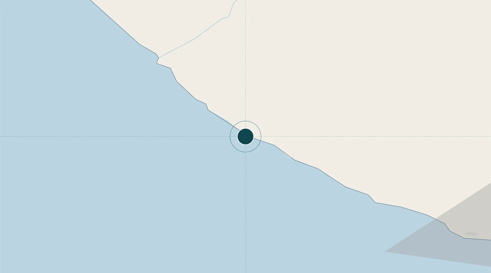
Location
Nearby Logistics Neighbours
Ports
- 1Buchanan149 km
- 2Cape Palmas163 km
- 3Monrovia245 km
- 4San Pedro272 km
- 5Bonthe475 km
Cities
- 1River Cess80 km
- 2Harper163 km
- 3Monrovia244 km
- 4San-Pédro270 km
- 5Kosagi375 km
Airports
- 1Greenville/Sinoe Airport6 km
- 2Roberts International Airport201 km
- 3Spriggs Payne Airport238 km
- 4San Pedro Airport266 km
- 5Man Airport302 km
Trade Zones
- 1Buchanan Special Economic Zone147 km
- 2Monrovia Industrial Park239 km
- 3Freeport of Monrovia245 km
- 4San Pedro Economic Zone268 km
- 5Makona River Free Zone Development Project412 km
DatabookThe Record of Consolidated Knowledge
Liberia beyond logistics?