Export Processing Zone · Liberia

Buchanan Special Economic Zone Under Development
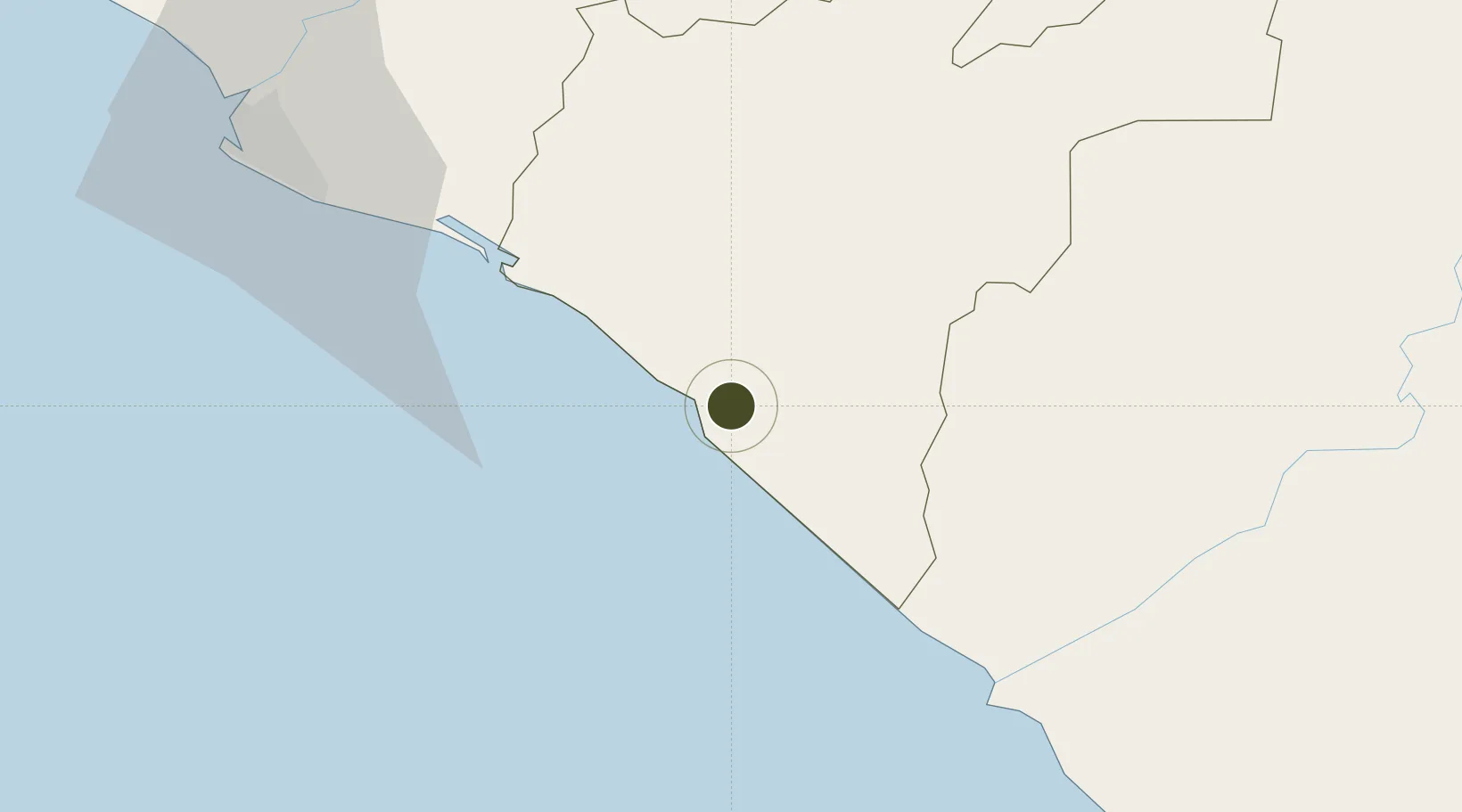
5.9025°, -9.9981°
50,667 ha
Zone area
8.6 km
Nearest port
54.6 km
Nearest airport

Gateway access

Nearest neighbours — logibook spatial index (haversine) over the source coordinates

Zone profile

Zone type
Export Processing Zone
Open Zone Map
Region
Grand Bassa
Open Zone Map
Status
Under Development
Open Zone Map
Management
Public-Private Partnership
Open Zone Map
Operator
Ministry of Finance and Development Planning,African Development Bank
Open Zone Map
Legal framework
Liberia Special Economic Zone Act of 2017
Open Zone Map

Location

Location of ozm-2712
Natural Earth 10m (public domain) · Grand Bassa · ozm-2712 · 5.90, -10.00GoogleOSMYandex

Nearby Logistics Neighbours

Ports
  1. 1Buchanan9 km
  2. 2Monrovia102 km
  3. 3Greenville147 km
  4. 4Cape Palmas305 km
  5. 5Bonthe331 km
Nearest neighbours — logibook spatial index (haversine) over the source coordinates
Airports
  1. 1Roberts International Airport55 km
  2. 2Spriggs Payne Airport94 km
  3. 3Greenville/Sinoe Airport142 km
  4. 4Kenema Airport257 km
  5. 5Bo Airport299 km
Nearest neighbours — logibook spatial index (haversine) over the source coordinates
Cities
  1. 1River Cess67 km
  2. 2Monrovia100 km
  3. 3Harper305 km
  4. 4Kosagi332 km
  5. 5San-Pédro395 km
Nearest neighbours — logibook spatial index (haversine) over the source coordinates
Trade Zones
  1. 1Monrovia Industrial Park94 km
  2. 2Freeport of Monrovia101 km
  3. 3Makona River Free Zone Development Project288 km
  4. 4San Pedro Economic Zone392 km
  5. 5First Step Economic Opportunity Zone Newton427 km
Nearest neighbours — logibook spatial index (haversine) over the source coordinates
DatabookThe Record of Consolidated Knowledge
Liberia beyond logistics?
Browse databook

All Sources

Trade ZonesOpen Zone Map
CC BY
Portsthe NGA World Port Index
Public domain (US gov)
AirportsOurAirports
Public domain
LocationsUN/LOCODE
UN/LOCODE — free
← Liberia trade zones