Transport Functions
Port
Road
Airport
Postal
Hub Profile
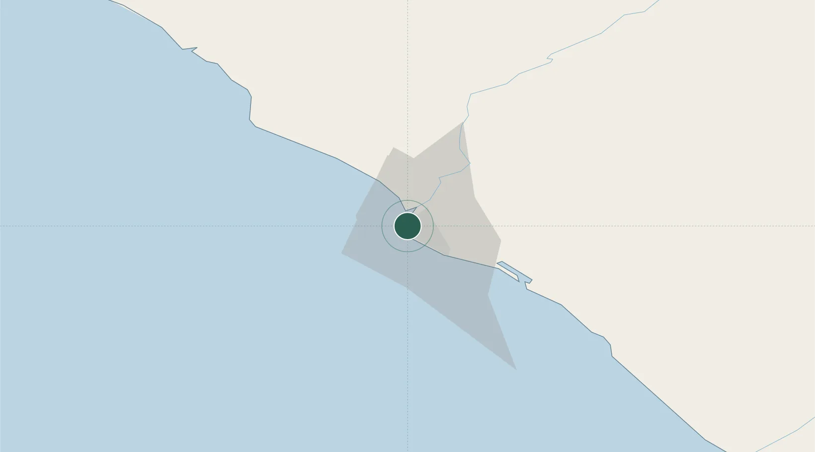
Place type
National capital
Region
Montserrado County
Population
1,542,549
Time zone
Africa/Monrovia
Elevation
32 m
Logistics facilities
3
Location
Nearby Logistics Neighbours
Cities
- 1River Cess165 km
- 2Kissy355 km
- 3Freetown357 km
- 4Kosagi363 km
- 5Harper405 km
Ports
- 1Buchanan96 km
- 2Bonthe231 km
- 3Greenville244 km
- 4Pepel353 km
- 5Freetown361 km
Airports
- 1Spriggs Payne Airport6 km
- 2Roberts International Airport49 km
- 3Kenema Airport179 km
- 4Bo Airport209 km
- 5Greenville/Sinoe Airport240 km
Trade Zones
DatabookThe Record of Consolidated Knowledge
Liberia beyond logistics?