Transport Functions
Port
Road
Multimodal
Hub Profile
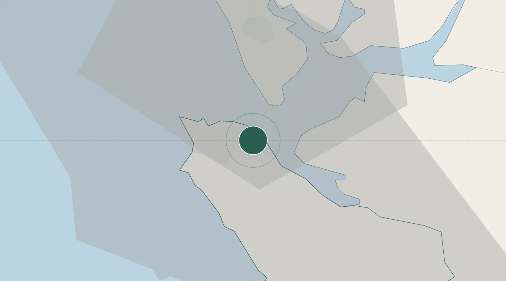
Place type
Populated place
Region
Western Area
Time zone
Africa/Freetown
Elevation
68 m
Location
Nearby Logistics Neighbours
Cities
- 1Freetown2 km
- 2Conakry Eco128 km
- 3Conakry132 km
- 4Dubreka151 km
- 5Kindia180 km
Airports
- 1Lungi International Airport17 km
- 2Ahmed Sékou Touré International Airport132 km
- 3Bo Airport167 km
- 4Kenema Airport230 km
- 5Yengema Airport236 km
DatabookThe Record of Consolidated Knowledge
Sierra Leone beyond logistics?