Channel & Berth Profile
Pilotage, Tugs & Services
Pilotage compulsoryYES
Pilotage availableYES
Tug assistanceNO
Salvage tugsNO
Shore powerYES
Potable waterYES
Diesel bunkersNO
Facilities & Capabilities
Container—
Ro-Ro—
Liquid bulk—
Dry bulk—
Oil terminal—
Break bulk—
Dry dock—
Repairs—
BunkeringNO
Rail link—
Dangerous cargo—
ISPS security—
Harbour Specifications
Harbour size
Very Small
Harbour type
River (Natural)
Shelter
Good
Water body
North Atlantic Ocean
Tidal range
3 m
Overhead limit
Yes
Pilotage
Yes
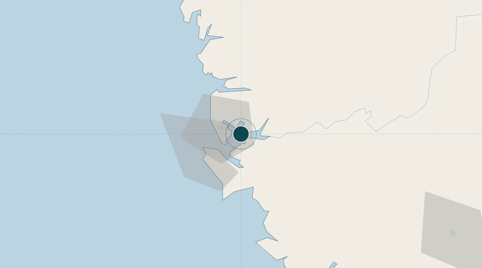
Location
Nearby Logistics Neighbours
Cities
- 1Kissy20 km
- 2Freetown20 km
- 3Conakry Eco124 km
- 4Conakry128 km
- 5Dubreka142 km
Airports
- 1Lungi International Airport16 km
- 2Ahmed Sékou Touré International Airport127 km
- 3Bo Airport159 km
- 4Kenema Airport220 km
- 5Yengema Airport220 km
DatabookThe Record of Consolidated Knowledge
Sierra Leone beyond logistics?