Medium airport · Sierra Leone
Kenema AirportGFKE
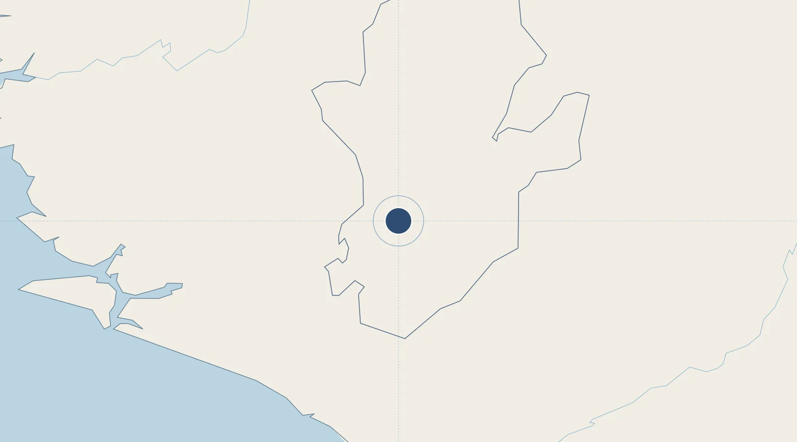
7.8964°, -11.1741°
3,770 ft
Longest runway
1
Runways
485 ft
Elevation
Runway & Layout

Runways · 1
| Runway | Dimensions | Surface | True heading | Lit |
|---|---|---|---|---|
| 04/22 | 3,770 × —ft | Turf | — | — |
Airport Specifications
IATA code
KEN
ICAO code
GFKE
Airport class
Medium airport
Scheduled service
No
Runway surface
Turf
Served city
Kenema
Location
Nearby Logistics Neighbours
Airports
- 1Bo Airport65 km
- 2Yengema Airport81 km
- 3Spriggs Payne Airport185 km
- 4Roberts International Airport205 km
- 5Lungi International Airport236 km
Cities
- 1Monrovia179 km
- 2Kissy230 km
- 3Freetown232 km
- 4Kindia302 km
- 5River Cess322 km
Trade Zones
DatabookThe Record of Consolidated Knowledge
Sierra Leone beyond logistics?