Transport Functions
Port
Hub Profile
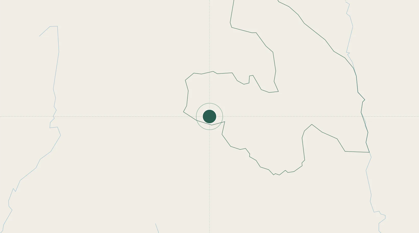
Place type
Populated place
Region
Woroba
Population
684
Time zone
Africa/Abidjan
Elevation
531 m
Location
Nearby Logistics Neighbours
Cities
- 1Guiembé285 km
- 2River Cess347 km
- 3Monrovia363 km
- 4Gbabam413 km
- 5San-Pédro418 km
Ports
- 1Buchanan340 km
- 2Monrovia367 km
- 3Greenville375 km
- 4San Pedro420 km
- 5Cape Palmas430 km
Airports
- 1Man Airport119 km
- 2Daloa Airport239 km
- 3Korhogo Airport308 km
- 4Yengema Airport327 km
- 5Roberts International Airport333 km
Trade Zones
DatabookThe Record of Consolidated Knowledge
Côte d’Ivoire beyond logistics?