Seaport · Sierra Leone

BontheSLBTE

7.5333°, -12.5000°
3.4 m
Channel depth

Channel & Berth Profile

SEA LEVEL (CD)CHANNEL BEDChannel · 3.4 mAnchorage · 6.4 mCargo pier · 6.4 m
NGA World Port Index

Pilotage, Tugs & Services

Pilotage compulsoryYES
Tug assistanceNO
Potable waterYES
Diesel bunkersNO
Garbage disposalNO
NGA World Port Index

Facilities & Capabilities

Container
Ro-Ro
Liquid bulk
Dry bulk
Oil terminal
Break bulk
Dry dock
RepairsNO
BunkeringNO
Rail link
Dangerous cargo
ISPS security
NGA World Port Index

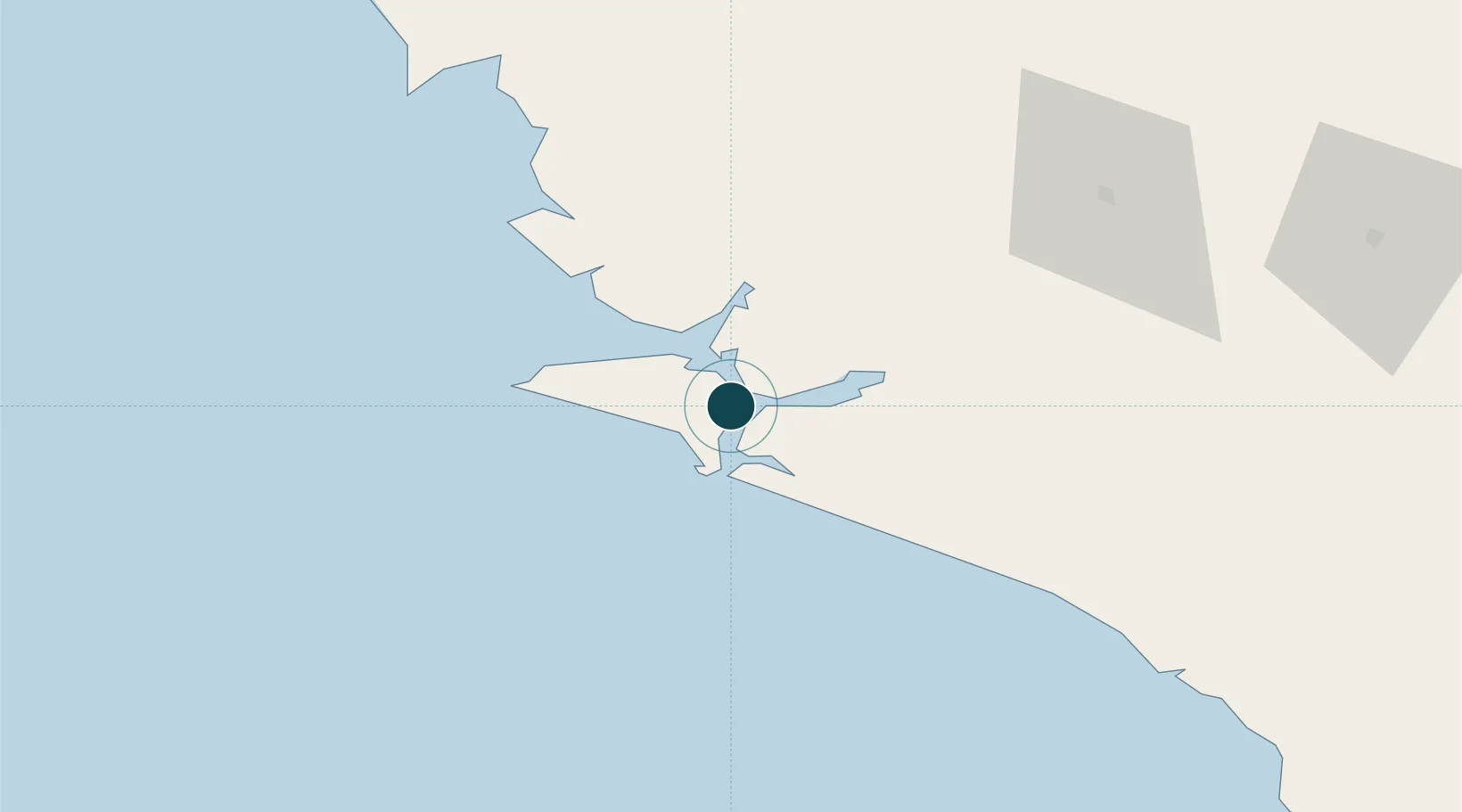
Harbour Specifications

Harbour size
Very Small
NGA World Port Index
Harbour type
River (Natural)
NGA World Port Index
Shelter
Good
NGA World Port Index
Water body
North Atlantic Ocean
NGA World Port Index
Tidal range
3 m
NGA World Port Index
Pilotage
Yes
NGA World Port Index

Location

Location of SLBTE
Natural Earth 10m (public domain) · Southern · SLBTE · 7.53, -12.50GoogleOSMYandex

Nearby Logistics Neighbours

Ports
  1. 1Pepel132 km
  2. 2Freetown134 km
  3. 3Benti197 km
  4. 4Monrovia230 km
  5. 5Conakry258 km
Nearest neighbours — logibook spatial index (haversine) over the source coordinates
Cities
  1. 1Kissy128 km
  2. 2Freetown130 km
  3. 3Monrovia231 km
  4. 4Conakry Eco255 km
  5. 5Conakry259 km
Nearest neighbours — logibook spatial index (haversine) over the source coordinates
Airports
  1. 1Bo Airport93 km
  2. 2Lungi International Airport143 km
  3. 3Kenema Airport152 km
  4. 4Yengema Airport200 km
  5. 5Spriggs Payne Airport237 km
Nearest neighbours — logibook spatial index (haversine) over the source coordinates
Trade Zones
  1. 1First Step Economic Opportunity Zone Newton105 km
  2. 2Guoji Industry and Trade Zone132 km
  3. 3New Koya City Aerotropolis (Airport City) and Economic Zone143 km
  4. 4Freeport of Monrovia230 km
  5. 5Monrovia Industrial Park237 km
Nearest neighbours — logibook spatial index (haversine) over the source coordinates
DatabookThe Record of Consolidated Knowledge
Sierra Leone beyond logistics?
Browse databook

All Sources

Portsthe NGA World Port Index
Public domain (US gov)
AirportsOurAirports
Public domain
LocationsUN/LOCODE
UN/LOCODE — free
Trade Zonesthe World Bank SEZ database
CC BY 4.0
Trade ZonesOpen Zone Map
CC BY
← Sierra Leone ports