UN/LOCODE hub · Sierra Leone
SLFNA
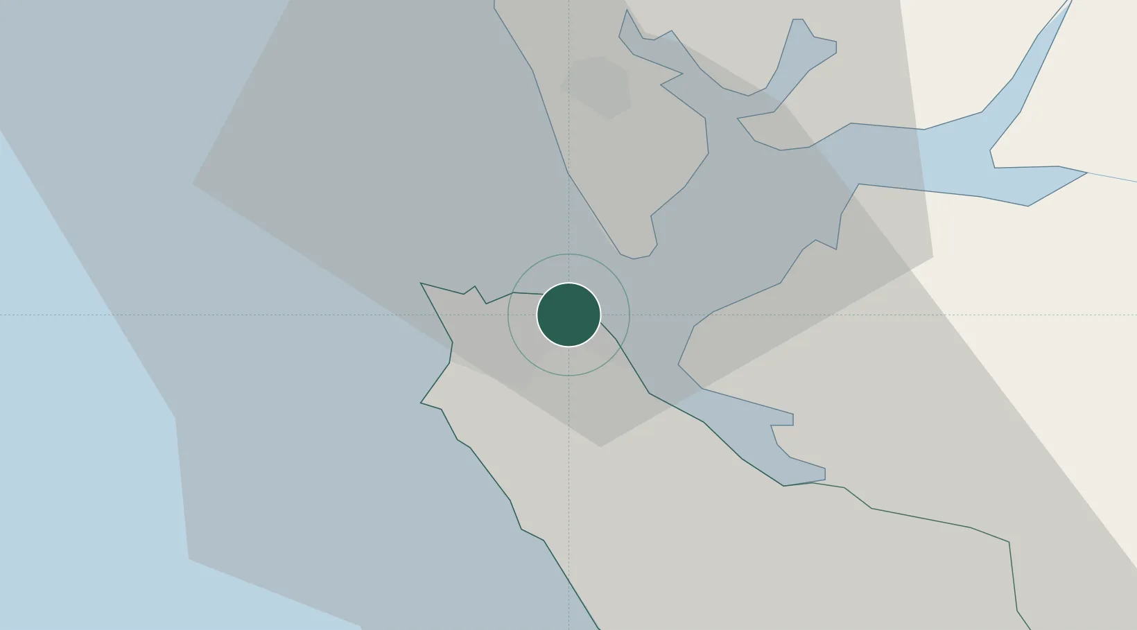
Freetown
8.4801°, -13.1943°
802,639
Population
3
Transport functions
Transport Functions
Port
Airport
Postal
Hub Profile
Place type
National capital
Region
Western Area
Population
802,639
Time zone
Africa/Freetown
Elevation
38 m
Logistics facilities
2
Location
Nearby Logistics Neighbours
Cities
- 1Kissy2 km
- 2Conakry Eco126 km
- 3Conakry131 km
- 4Dubreka149 km
- 5Kindia179 km
Airports
- 1Lungi International Airport15 km
- 2Ahmed Sékou Touré International Airport130 km
- 3Bo Airport169 km
- 4Kenema Airport232 km
- 5Yengema Airport237 km
DatabookThe Record of Consolidated Knowledge
Sierra Leone beyond logistics?