Transport Functions
Port
Airport
Hub Profile
Place type
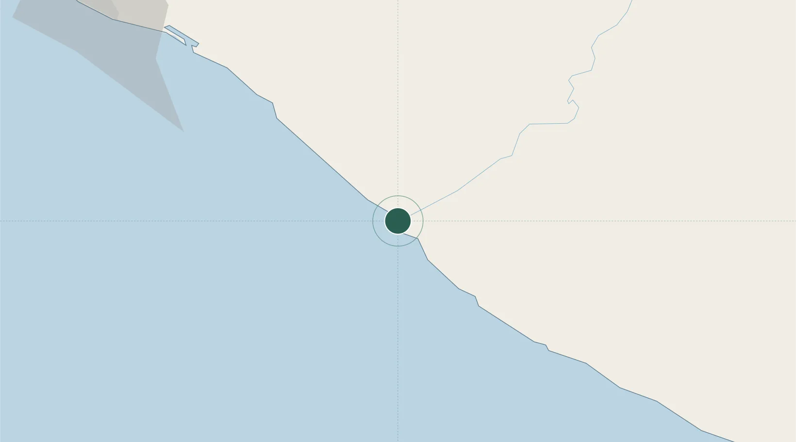
Regional capital
Region
River Cess County
Population
3,606
Time zone
Africa/Monrovia
Elevation
5 m
Location
Nearby Logistics Neighbours
Ports
- 1Buchanan70 km
- 2Greenville80 km
- 3Monrovia166 km
- 4Cape Palmas240 km
- 5San Pedro339 km
Airports
- 1Greenville/Sinoe Airport75 km
- 2Roberts International Airport121 km
- 3Spriggs Payne Airport159 km
- 4Man Airport298 km
- 5Kenema Airport322 km
Trade Zones
DatabookThe Record of Consolidated Knowledge
Liberia beyond logistics?