Transport Functions
Port
Road
Hub Profile
Place type
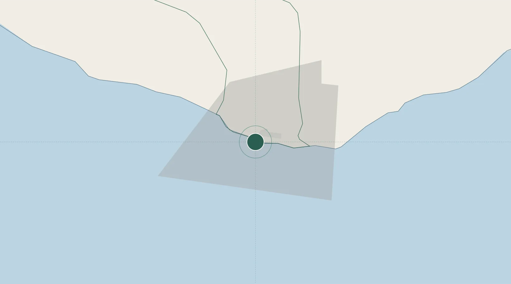
Regional capital
Region
Maryland County
Population
35,503
Time zone
Africa/Monrovia
Elevation
14 m
Location
Nearby Logistics Neighbours
Cities
- 1San-Pédro128 km
- 2River Cess240 km
- 3Fresco251 km
- 4Gbabam266 km
- 5Grand Lahou311 km
Ports
- 1Cape Palmas0 km
- 2San Pedro129 km
- 3Greenville163 km
- 4Buchanan309 km
- 5Baobab Marine Terminal357 km
Airports
- 1San Pedro Airport124 km
- 2Greenville/Sinoe Airport167 km
- 3Daloa Airport303 km
- 4Man Airport323 km
- 5Roberts International Airport359 km
Trade Zones
- 1San Pedro Economic Zone128 km
- 2Buchanan Special Economic Zone305 km
- 3Yamoussoukro Industrial Park376 km
- 4Monrovia Industrial Park399 km
- 5Freeport of Monrovia405 km
DatabookThe Record of Consolidated Knowledge
Liberia beyond logistics?