Channel & Berth Profile
Pilotage, Tugs & Services
Pilotage compulsoryYES
Pilotage advisableYES
Tug assistanceYES
Shore powerYES
Potable waterYES
Diesel bunkersNO
MedicalYES
Facilities & Capabilities
Container—
Ro-Ro—
Liquid bulk—
Dry bulk—
Oil terminal—
Break bulk—
Dry dock—
Repairs—
BunkeringNO
Rail linkYES
Dangerous cargo—
ISPS security—
Harbour Specifications
Harbour size
Very Small
Harbour type
Coastal (Breakwater)
Shelter
Fair
Water body
North Atlantic Ocean
Tidal range
1 m
Pilotage
Yes
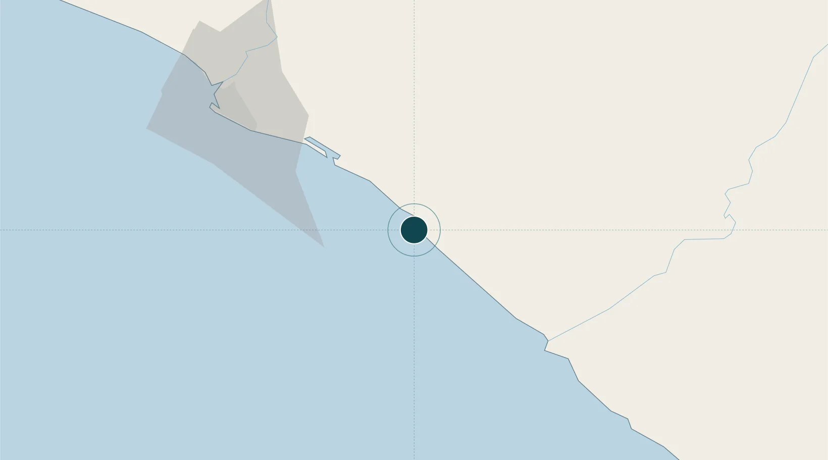
Location
Nearby Logistics Neighbours
Ports
- 1Monrovia97 km
- 2Greenville149 km
- 3Cape Palmas309 km
- 4Bonthe326 km
- 5San Pedro403 km
Cities
- 1River Cess70 km
- 2Monrovia96 km
- 3Harper309 km
- 4Kosagi340 km
- 5San-Pédro401 km
Airports
- 1Roberts International Airport52 km
- 2Spriggs Payne Airport90 km
- 3Greenville/Sinoe Airport145 km
- 4Kenema Airport257 km
- 5Bo Airport297 km
Trade Zones
DatabookThe Record of Consolidated Knowledge
Liberia beyond logistics?