Channel & Berth Profile
Pilotage, Tugs & Services
Pilotage compulsoryYES
Pilotage availableYES
Pilotage advisableYES
Tug assistanceYES
Salvage tugsYES
Potable waterYES
Diesel bunkersNO
MedicalYES
Garbage disposalNO
Facilities & Capabilities
Container—
Ro-Ro—
Liquid bulk—
Dry bulk—
Oil terminal—
Break bulk—
Dry dock—
RepairsNO
BunkeringYES
Rail link—
Dangerous cargo—
ISPS security—
Harbour Specifications
Harbour size
Very Small
Harbour type
Open Roadstead
Shelter
Fair
Water body
Persian Gulf; Indian Ocean
Tidal range
3 m
Pilotage
Yes
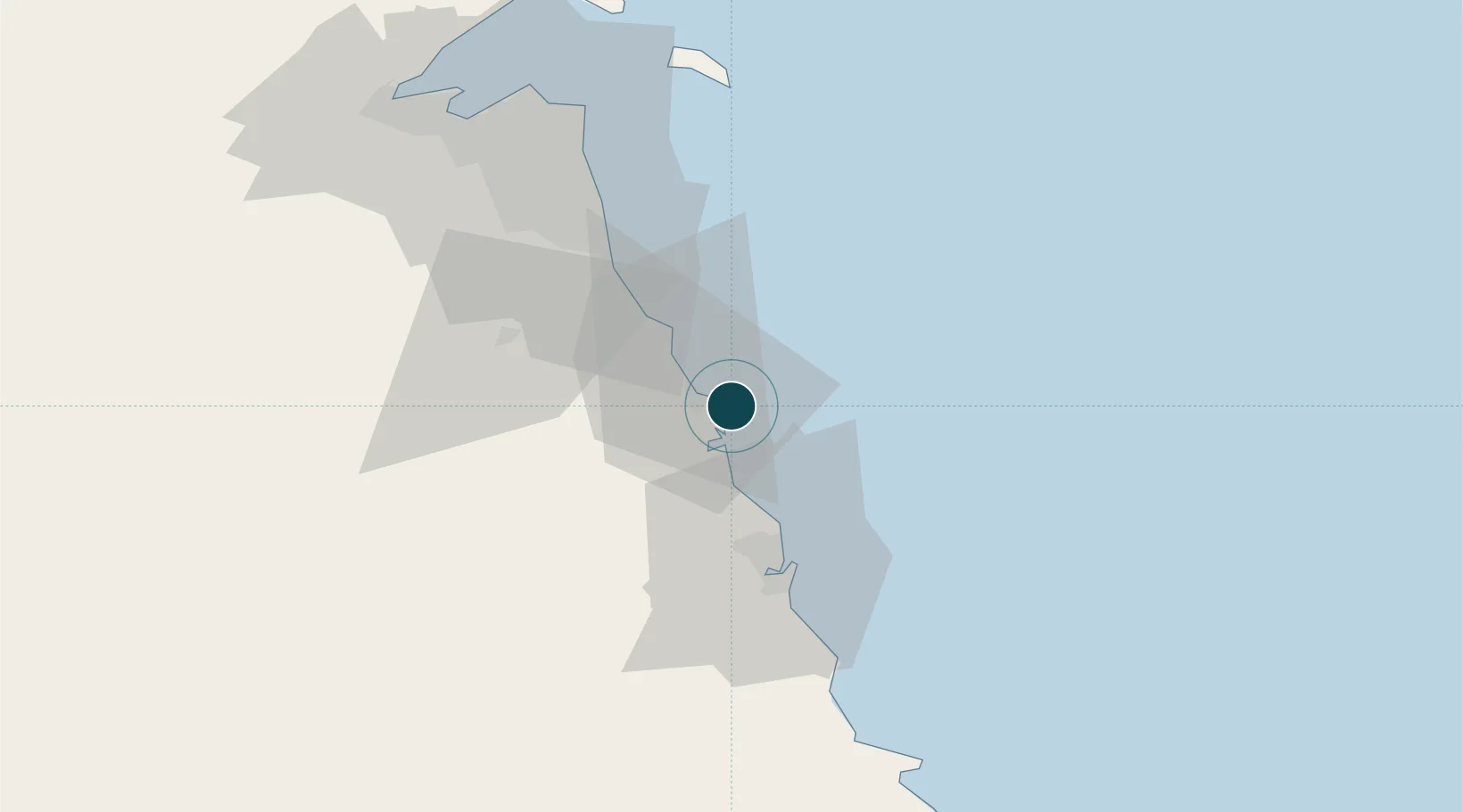
Location
Nearby Logistics Neighbours
Ports
- 1Ras Al Khafji38 km
- 2Mina Abd Allah39 km
- 3Mina Ash Shuaybah40 km
- 4Mina Al Ahmadi44 km
- 5Ras Al Mishab72 km
Cities
- 1Mina Al Zour2 km
- 2Mina' 'Abd Allah39 km
- 3Mina' al Ahmadi44 km
- 4Shuaiba44 km
- 5Ahmadi48 km
Airports
- 1Ahmed Al Jaber Air Base63 km
- 2Kuwait International Airport69 km
- 3Ras Mishab Airport76 km
- 4Ras Tanajib Airport103 km
- 5Ali Al Salem Air Base110 km
Trade Zones
DatabookThe Record of Consolidated Knowledge
Kuwait beyond logistics?