Diversified Zone · Iran

Arvand Trade Industrial Free Zone Active

30.3905°, 48.2132°
37,400 ha
Zone area
5.6 km
Nearest port
3.0 km
Nearest airport

Gateway access

Nearest neighbours — logibook spatial index (haversine) over the source coordinates

Zone profile

Zone type
Diversified Zone
Open Zone Map
Region
Khuzestan
Open Zone Map
Status
Active
Open Zone Map
Management
Public
Open Zone Map
Operator
Arvand Free Zone Organization
Open Zone Map
Legal framework
Law on the Administration of Free Trade-Industrial Zones of the Islamic Republic of Iran
Open Zone Map

Location

Location of ozm-2507
Natural Earth 10m (public domain) · Khuzestan · ozm-2507 · 30.39, 48.21GoogleOSMYandex

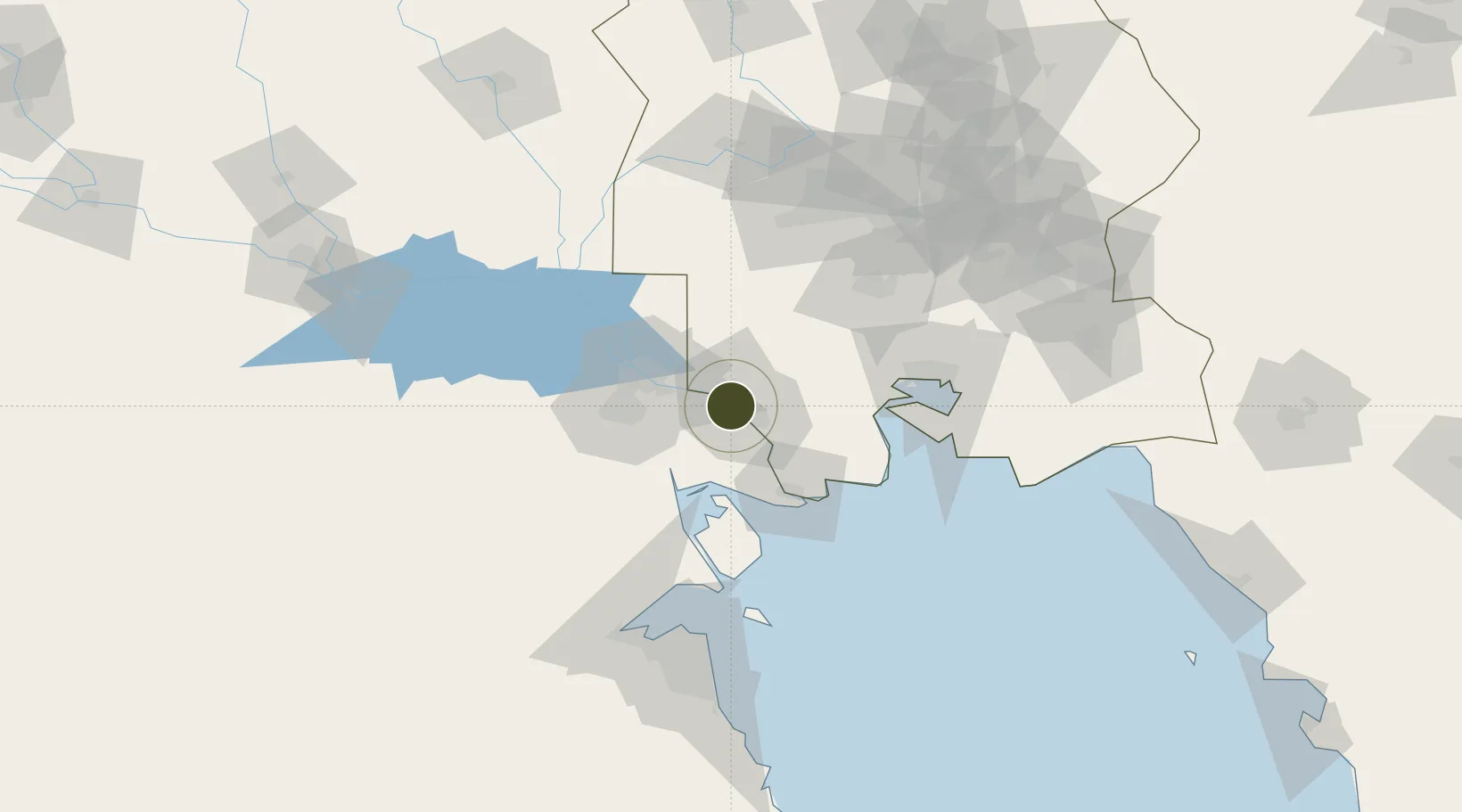
Nearby Logistics Neighbours

Ports
  1. 1Khorramshahr6 km
  2. 2Abadan9 km
  3. 3Khawr Al Zubair38 km
  4. 4Al Basrah39 km
  5. 5Umm Qasr49 km
Nearest neighbours — logibook spatial index (haversine) over the source coordinates
Airports
  1. 1Abadan Ayatollah Jami International Airport3 km
  2. 2Basra International Airport56 km
  3. 3Mahshahr Airport92 km
  4. 4Qasem Soleimani International Airport118 km
  5. 5Kuwait International Airport132 km
Nearest neighbours — logibook spatial index (haversine) over the source coordinates
Cities
  1. 1Umm Qasr Port47 km
  2. 2Mafraq Ash Shuaybah55 km
  3. 3Imam Khomeini Pt/ Mahshahr City82 km
  4. 4Bandar-e Emam Khomeyni85 km
  5. 5Bandar Khomeini85 km
Nearest neighbours — logibook spatial index (haversine) over the source coordinates
Trade Zones
  1. 1Al Abdali Free Economic Zone80 km
  2. 2Imam Khomeini Port82 km
  3. 3Petrochemical Special Economic Zone84 km
  4. 4Kuwait Free Trade Zone119 km
  5. 5Al Naim (Al Shegaya) Free Economic Zone128 km
Nearest neighbours — logibook spatial index (haversine) over the source coordinates
DatabookThe Record of Consolidated Knowledge
Iran beyond logistics?
Browse databook

All Sources

Trade ZonesOpen Zone Map
CC BY
Portsthe NGA World Port Index
Public domain (US gov)
AirportsOurAirports
Public domain
LocationsUN/LOCODE
UN/LOCODE — free
← Iran trade zones