Transport Functions
Port
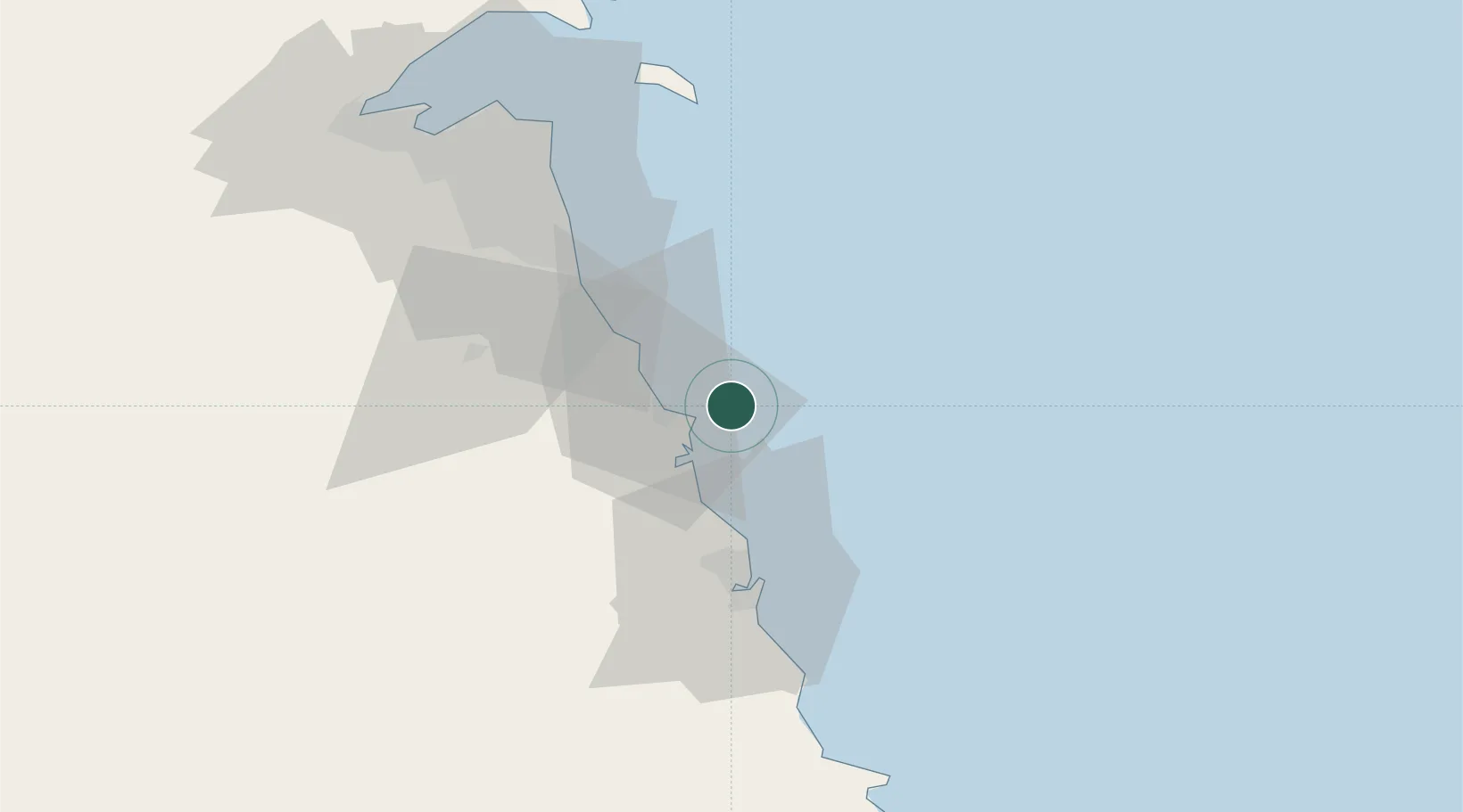
Location
Nearby Logistics Neighbours
Cities
- 1Mina Al Zour9 km
- 2Mina' 'Abd Allah40 km
- 3Mina' al Ahmadi45 km
- 4Shuaiba46 km
- 5Ahmadi50 km
Ports
- 1Ras Al Khafji39 km
- 2Mina Abd Allah40 km
- 3Mina Ash Shuaybah42 km
- 4Mina Al Ahmadi44 km
- 5Ras Al Mishab74 km
Airports
- 1Ahmed Al Jaber Air Base68 km
- 2Kuwait International Airport70 km
- 3Ras Mishab Airport78 km
- 4Ras Tanajib Airport104 km
- 5Ali Al Salem Air Base113 km
Trade Zones
DatabookThe Record of Consolidated Knowledge
Kuwait beyond logistics?