Free Trade Zone · Saudi Arabia

Ras Al-Khair Industrial City Under Development
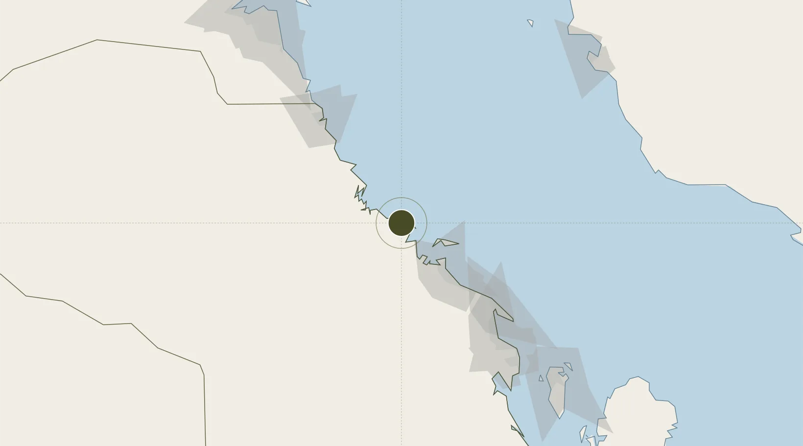
27.4983°, 49.1867°
9,800 ha
Zone area
66.2 km
Nearest port
55.4 km
Nearest airport

Gateway access

Nearest neighbours — logibook spatial index (haversine) over the source coordinates

Zone profile

Zone type
Free Trade Zone
Open Zone Map
Region
Ash Sharqiyah
Open Zone Map
Status
Under Development
Open Zone Map
Management
Public
Open Zone Map
Operator
Saudi Authority for Industrial Estates and Technology Zones
Open Zone Map
Legal framework
Ministerial Legislation No. 235 dated 27/8/1422H
Open Zone Map

Location

Location of ozm-4092
Natural Earth 10m (public domain) · Ash Sharqiyah · ozm-4092 · 27.50, 49.19GoogleOSMYandex

Nearby Logistics Neighbours

Ports
  1. 1Al Jubayl66 km
  2. 2Ras Al Mishab88 km
  3. 3Ju Aymah Oil Terminal105 km
  4. 4Ras Al Khafji120 km
  5. 5Ras Tannurah137 km
Nearest neighbours — logibook spatial index (haversine) over the source coordinates
Airports
  1. 1Jubail Airport55 km
  2. 2Ras Tanajib Airport58 km
  3. 3Ras Mishab Airport86 km
  4. 4Ras Tanura Airport120 km
  5. 5King Fahd International Airport130 km
Nearest neighbours — logibook spatial index (haversine) over the source coordinates
Cities
  1. 1Ras Al-Khair6 km
  2. 2Al Jubayl Industrial City69 km
  3. 3Jubail69 km
  4. 4Juaymah Terminal105 km
  5. 5Ras Tanura136 km
Nearest neighbours — logibook spatial index (haversine) over the source coordinates
Trade Zones
  1. 1Al-Ahsa Al-Aḥsāʾ Industrial City Salwa (Second)60 km
  2. 2Jubail Industrial City68 km
  3. 3Al-Ahsa Al-Aḥsāʾ Modon Oasis73 km
  4. 4Dammam Industrial City (First)154 km
  5. 5Dammam Industrial City (Second)158 km
Nearest neighbours — logibook spatial index (haversine) over the source coordinates
DatabookThe Record of Consolidated Knowledge
Saudi Arabia beyond logistics?
Browse databook

All Sources

Trade ZonesOpen Zone Map
CC BY
Portsthe NGA World Port Index
Public domain (US gov)
AirportsOurAirports
Public domain
LocationsUN/LOCODE
UN/LOCODE — free
← Saudi Arabia trade zones