Channel & Berth Profile
Pilotage, Tugs & Services
Pilotage compulsoryYES
Pilotage availableYES
Tug assistanceYES
Salvage tugsNO
Potable waterNO
Diesel bunkersNO
MedicalYES
Facilities & Capabilities
Container—
Ro-Ro—
Liquid bulk—
Dry bulk—
Oil terminal—
Break bulk—
Dry dock—
Repairs—
BunkeringNO
Rail link—
Dangerous cargo—
ISPS security—
Harbour Specifications
Harbour size
Small
Harbour type
Open Roadstead
Shelter
Fair
Water body
Persian Gulf; Indian Ocean
Tidal range
2 m
Pilotage
Yes
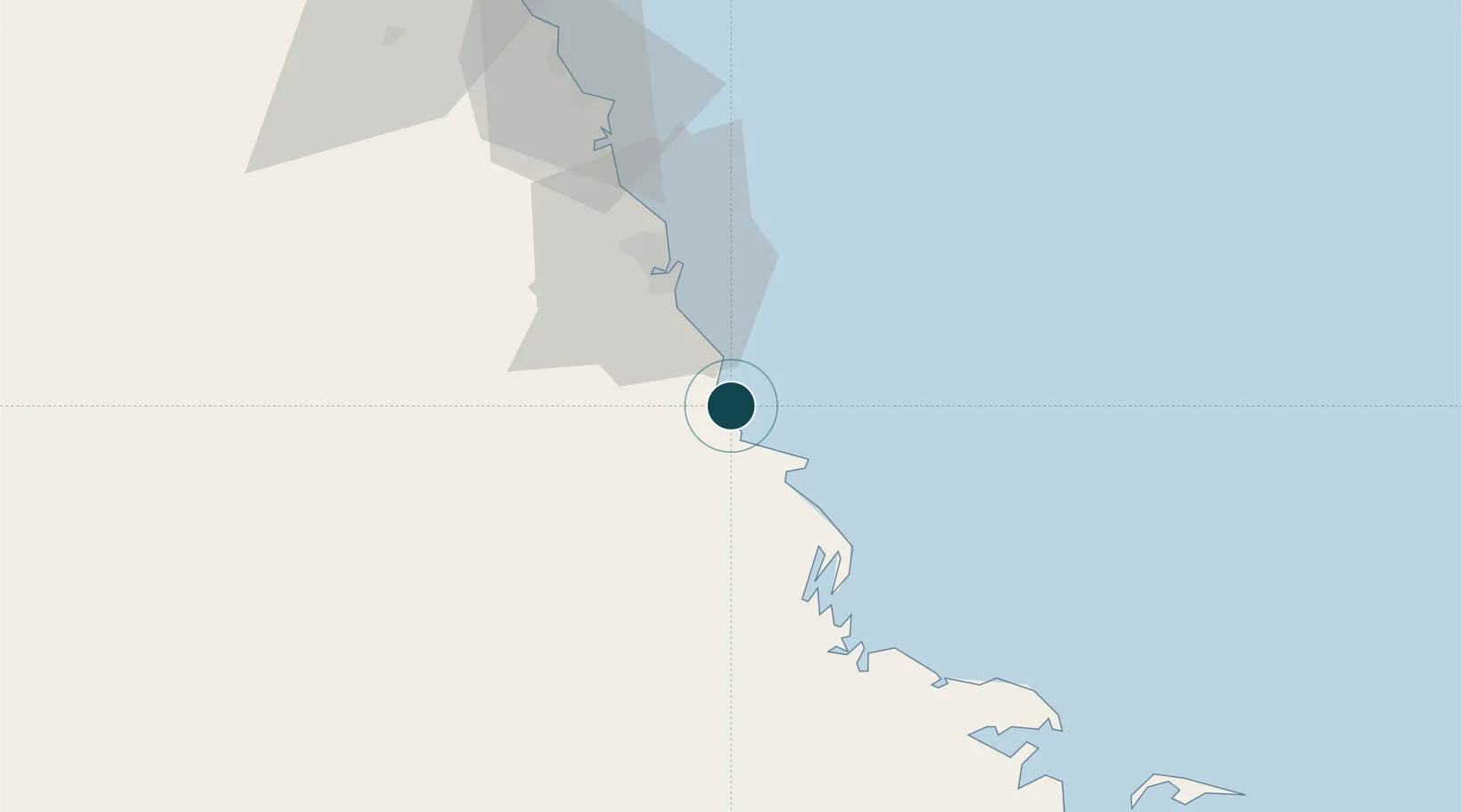
Location
Nearby Logistics Neighbours
Ports
- 1Ras Al Khafji36 km
- 2Mina Az Zawr72 km
- 3Mina Abd Allah110 km
- 4Mina Ash Shuaybah112 km
- 5Mina Al Ahmadi115 km
Cities
- 1Mina Al Zour71 km
- 2Mina Saud74 km
- 3Ras Al-Khair84 km
- 4Mina' 'Abd Allah110 km
- 5Shuaiba115 km
Airports
- 1Ras Mishab Airport5 km
- 2Ras Tanajib Airport31 km
- 3Ahmed Al Jaber Air Base123 km
- 4Kuwait International Airport139 km
- 5Jubail Airport142 km
Trade Zones
DatabookThe Record of Consolidated Knowledge
Saudi Arabia beyond logistics?