Channel & Berth Profile
Pilotage, Tugs & Services
Pilotage compulsoryYES
Pilotage availableYES
Shore powerYES
Potable waterYES
MedicalYES
Facilities & Capabilities
Container—
Ro-Ro—
Liquid bulk—
Dry bulk—
Oil terminal—
Break bulk—
Dry dock—
RepairsNO
Bunkering—
Rail linkYES
Dangerous cargo—
ISPS security—
Harbour Specifications
Harbour size
Small
Harbour type
Coastal (Breakwater)
Shelter
Fair
Water body
Yellow Sea; North Pacific Ocean
Tidal range
6 m
Pilotage
Yes
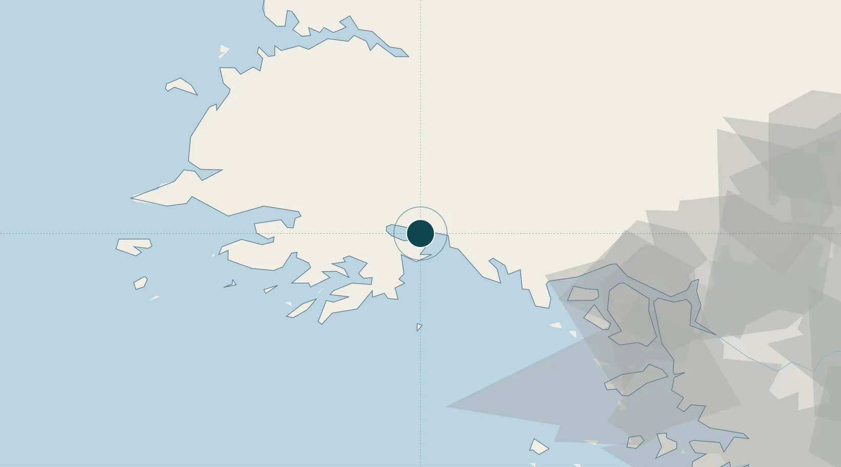
Location
Nearby Logistics Neighbours
Ports
- 1Kyomip'o82 km
- 2Nampo84 km
- 3Inchon100 km
- 4Daesan Hang126 km
- 5Pyeongtaek Hang148 km
Cities
- 1Yeonpyeongdo39 km
- 2Ganghwa-gun/Incheon75 km
- 3Panjang77 km
- 4Songnim86 km
- 5Yonggipo86 km
Airports
- 1Haeju Airfield7 km
- 2Hwangju Airbase73 km
- 3Kwail Air Base76 km
- 4Incheon International Airport89 km
- 5Uthachi Highway Strip Airport102 km
DatabookThe Record of Consolidated Knowledge
North Korea beyond logistics?