Free Trade Zone · South Korea

Incheon International Airport Free Trade Zone Active
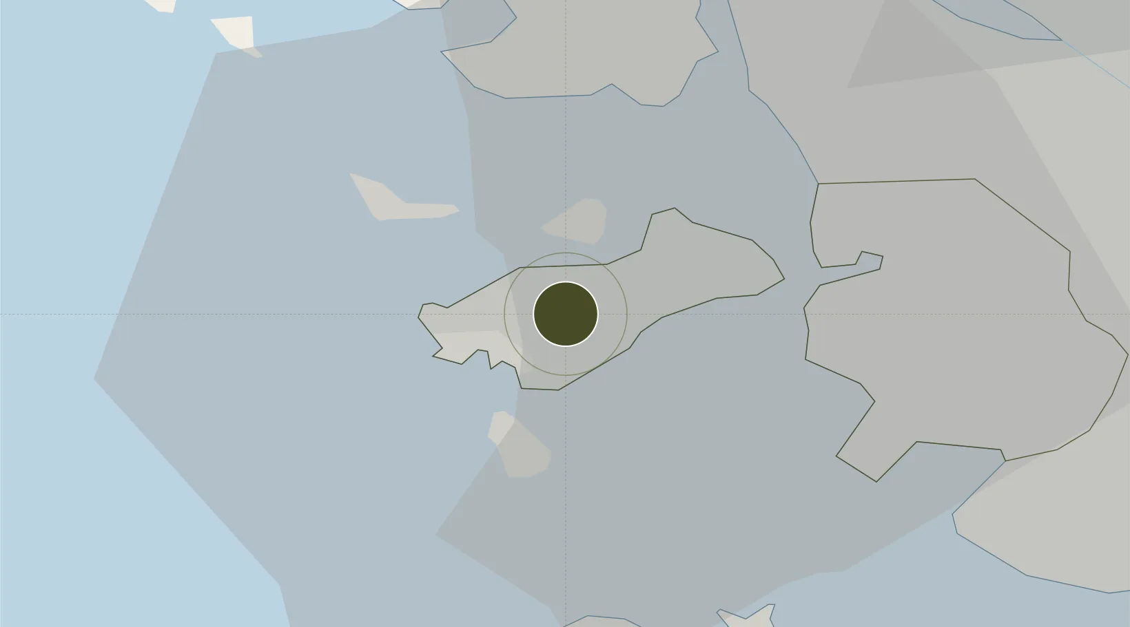
37.4682°, 126.4474°
164 ha
Zone area
14.9 km
Nearest port
0.3 km
Nearest airport

Gateway access

Nearest neighbours — logibook spatial index (haversine) over the source coordinates

Zone profile

Zone type
Free Trade Zone
Open Zone Map
Region
Incheon
Open Zone Map
Status
Active
Open Zone Map
Management
Public
Open Zone Map
Operator
Incheon Free Economic Zone Authority
Open Zone Map
Legal framework
Act On Designation And Management Of Free Trade Zones Expand Act No. 14113, Mar. 29, 2016.
Open Zone Map

Location

Location of ozm-4265
Natural Earth 10m (public domain) · Incheon · ozm-4265 · 37.47, 126.45GoogleOSMYandex

Nearby Logistics Neighbours

Ports
  1. 1Inchon15 km
  2. 2Daesan Hang50 km
  3. 3Pyeongtaek Hang61 km
  4. 4Haeju Hang88 km
  5. 5Kyomip'o158 km
Nearest neighbours — logibook spatial index (haversine) over the source coordinates
Airports
  1. 1Incheon International Airport0 km
  2. 2Gimpo International Airport32 km
  3. 3Suwon Airport56 km
  4. 4Seoul Air Base (K-16)59 km
  5. 5Osan Air Base66 km
Nearest neighbours — logibook spatial index (haversine) over the source coordinates
Cities
  1. 1Gyeongin15 km
  2. 2Incheon16 km
  3. 3Gimpo27 km
  4. 4Bucheon27 km
  5. 5Ganghwa-gun/Incheon30 km
Nearest neighbours — logibook spatial index (haversine) over the source coordinates
Trade Zones
  1. 1Yeongjong Sky City Free Economic Zone8 km
  2. 2Cheongna International City18 km
  3. 3Incheon Free Economic Zone18 km
  4. 4Incheon General Industrial Complex19 km
  5. 5Songdo International Business District19 km
Nearest neighbours — logibook spatial index (haversine) over the source coordinates
DatabookThe Record of Consolidated Knowledge
South Korea beyond logistics?
Browse databook

All Sources

Trade ZonesOpen Zone Map
CC BY
Portsthe NGA World Port Index
Public domain (US gov)
AirportsOurAirports
Public domain
LocationsUN/LOCODE
UN/LOCODE — free
← South Korea trade zones