Medium airport · North Korea
Kwail Air BaseKP-0039
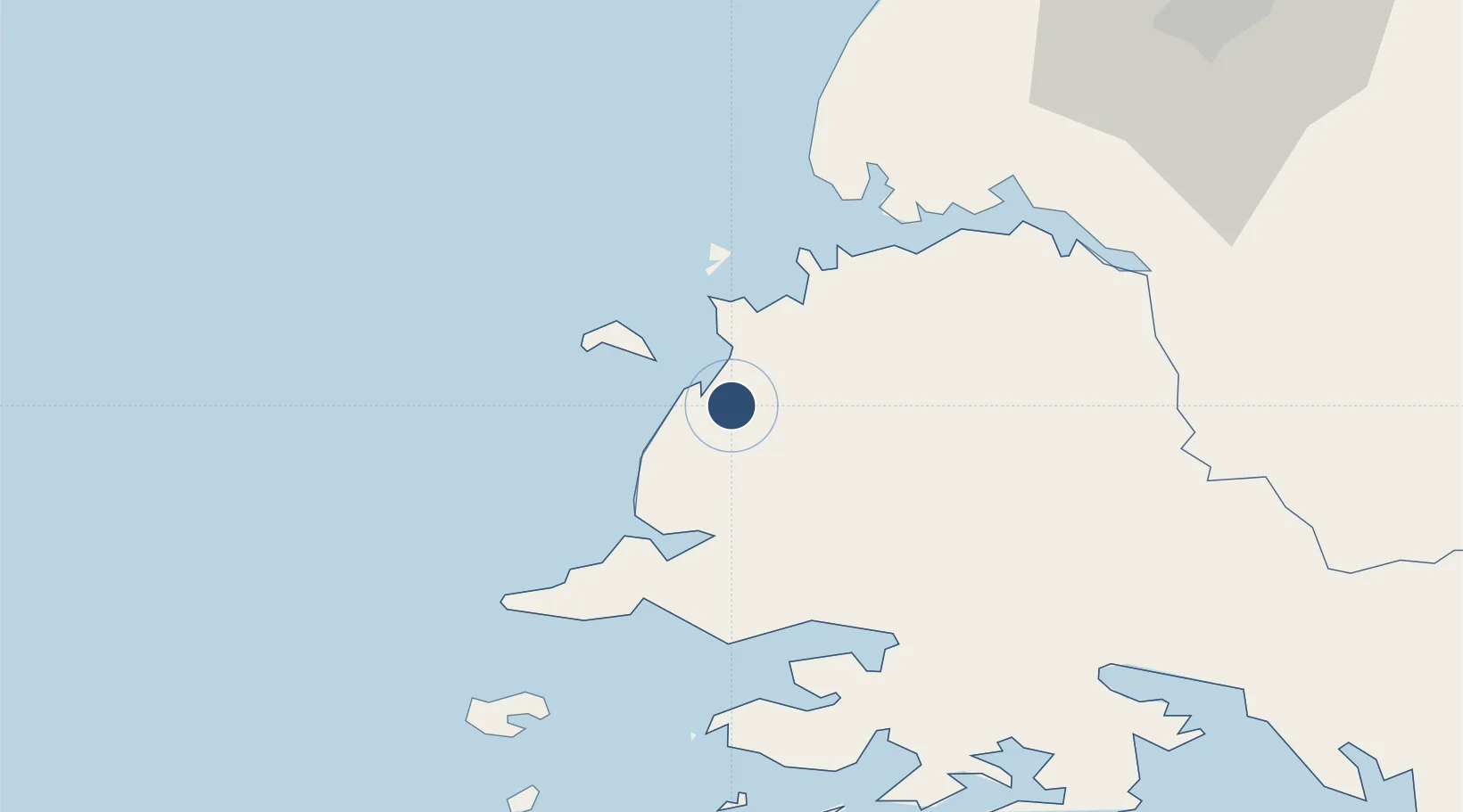
38.4255°, 125.0191°
8,202 ft
Longest runway
1
Runways
89 ft
Elevation
Runway & Layout

Runways · 1
| Runway | Dimensions | Surface | True heading | Lit |
|---|---|---|---|---|
| 15/33 | 8,202 × 140ft | Concrete | 144° | — |
Airport Specifications
Airport class
Medium airport
Scheduled service
No
Runway surface
Concrete
Served city
Kwail
Location
Nearby Logistics Neighbours
Airports
- 1Hwangju Airbase72 km
- 2Haeju Airfield81 km
- 3Uthachi Highway Strip Airport88 km
- 4Pyongyang Sunan International Airport105 km
- 5Sunchon Air Base133 km
Cities
- 1Panjang10 km
- 2Yonggipo59 km
- 3Songnim62 km
- 4Yeonpyeongdo105 km
- 5Samcha do112 km
Ports
- 1Nampo46 km
- 2Kyomip'o62 km
- 3Haeju Hang76 km
- 4Dandong172 km
- 5Inchon176 km
DatabookThe Record of Consolidated Knowledge
North Korea beyond logistics?