Export Processing Zone · North Korea
Nampo City Waudo Export Processing Zone Active
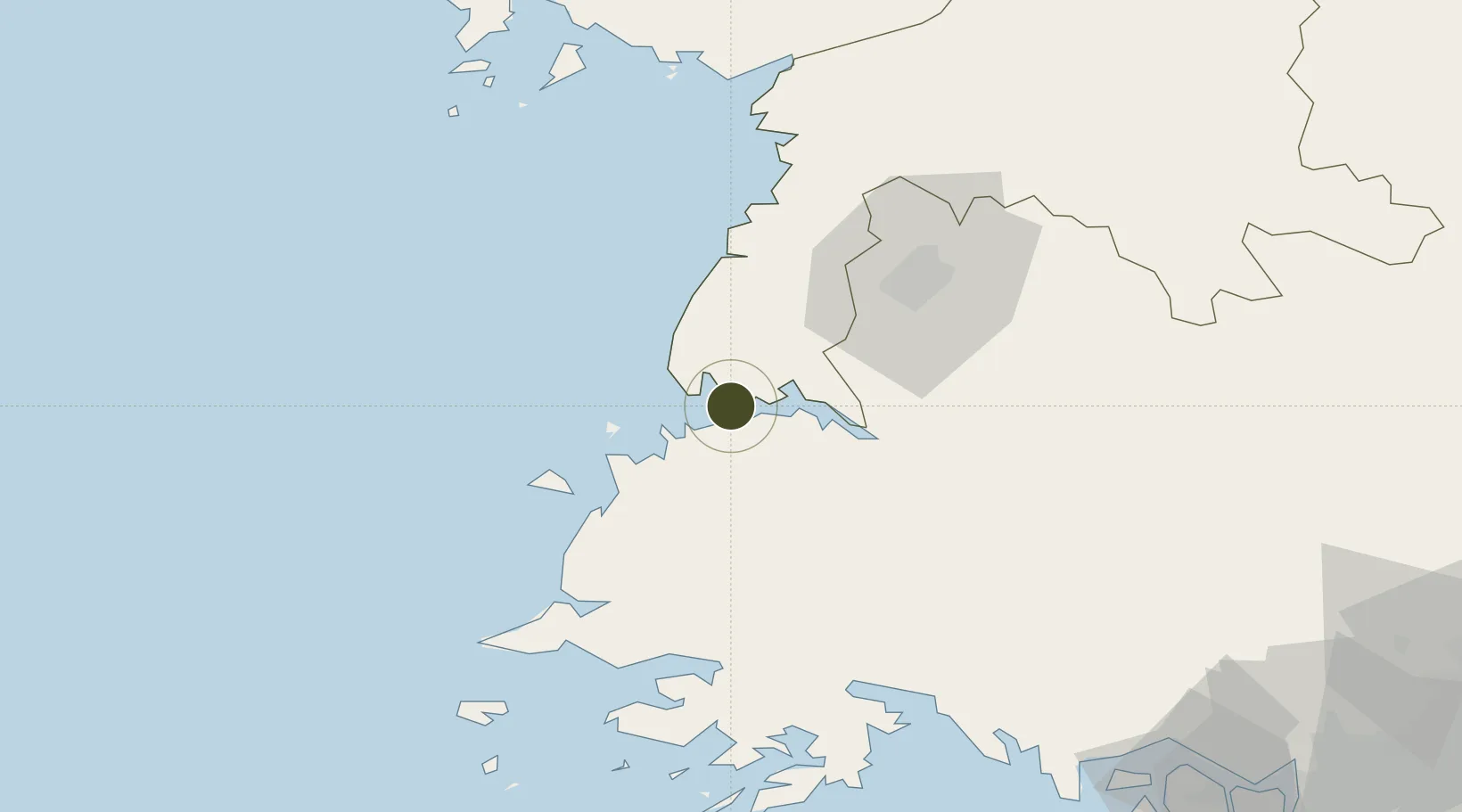
38.7121°, 125.2939°
150 ha
Zone area
9.2 km
Nearest port
39.8 km
Nearest airport
Gateway access
Zone profile
Zone type
Export Processing Zone
Region
P'yŏngan-namdo
Status
Active
Management
Public
Operator
Ministry of External Economic Relations
Legal framework
Labour Regulations for Foreign-Funded Enterprises in FETZ (Adopted as decision NO.8 of the Administration Council of the DPRK dated on December 3, 1993) The Law of the Democratic People's Republic of Korea on the Rason Economic and Trade Zone; North Korea
Location
Nearby Logistics Neighbours
Ports
- 1Nampo9 km
- 2Kyomip'o28 km
- 3Haeju Hang87 km
- 4Dandong157 km
- 5Inchon181 km
Airports
- 1Kwail Air Base40 km
- 2Hwangju Airbase44 km
- 3Uthachi Highway Strip Airport51 km
- 4Pyongyang Sunan International Airport66 km
- 5Haeju Airfield89 km
Cities
- 1Songnim26 km
- 2Panjang30 km
- 3Samcha do91 km
- 4Yonggipo99 km
- 5Yeonpyeongdo123 km
DatabookThe Record of Consolidated Knowledge
North Korea beyond logistics?