Runway & Layout
Airport Specifications
Airport class
Medium airport
Scheduled service
No
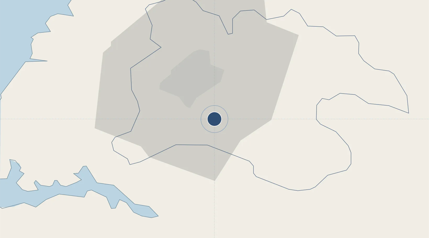
Served city
Pyongyang (Ryokpo)
Location
Nearby Logistics Neighbours
Airports
- 1Hwangju Airbase29 km
- 2Pyongyang Sunan International Airport37 km
- 3Sunchon Air Base56 km
- 4Pukchang Air Base67 km
- 5Koksan 2 Highway Strip72 km
Cities
- 1Songnim26 km
- 2Panjang79 km
- 3Samcha do110 km
- 4Panmoonjeom134 km
- 5Yeonpyeongdo141 km
Ports
- 1Kyomip'o27 km
- 2Nampo43 km
- 3Haeju Hang102 km
- 4Wonsan143 km
- 5Dandong175 km
DatabookThe Record of Consolidated Knowledge
North Korea beyond logistics?