Channel & Berth Profile
Pilotage, Tugs & Services
Pilotage availableYES
Shore powerYES
Potable waterYES
MedicalYES
Facilities & Capabilities
Container—
Ro-Ro—
Liquid bulk—
Dry bulk—
Oil terminal—
Break bulk—
Dry dock—
Repairs—
Bunkering—
Rail linkYES
Dangerous cargo—
ISPS security—
Harbour Specifications
Harbour size
Very Small
Harbour type
River (Natural)
Shelter
Fair
Water body
Korea Bay; Yellow Sea; North Pacific Ocean
Tidal range
3 m
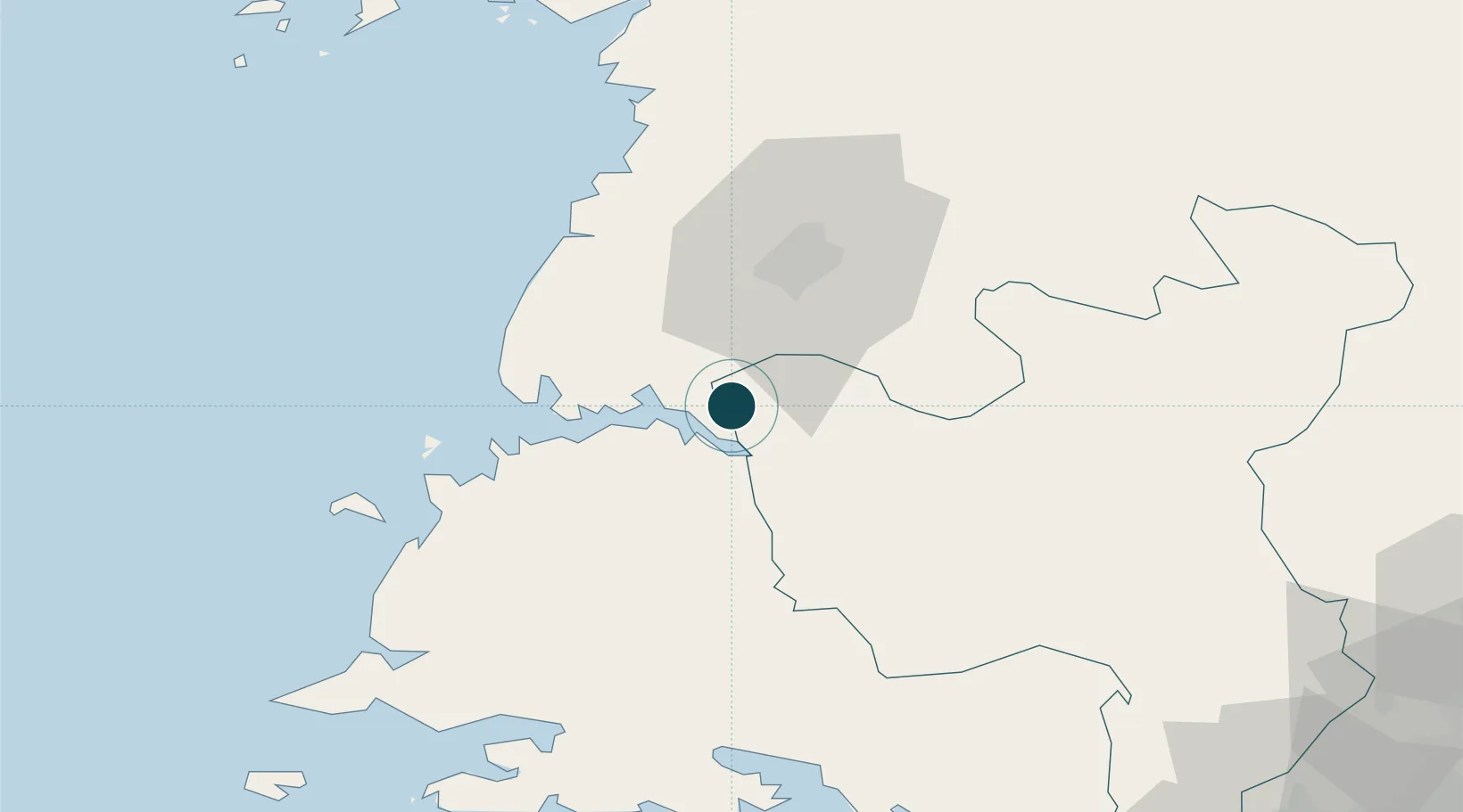
Location
Nearby Logistics Neighbours
Ports
- 1Nampo19 km
- 2Haeju Hang82 km
- 3Wonsan166 km
- 4Inchon166 km
- 5Dandong175 km
Cities
- 1Panjang53 km
- 2Samcha do107 km
- 3Yonggipo117 km
- 4Yeonpyeongdo121 km
- 5Panmoonjeom131 km
Airports
- 1Hwangju Airbase17 km
- 2Uthachi Highway Strip Airport27 km
- 3Pyongyang Sunan International Airport55 km
- 4Kwail Air Base62 km
- 5Sunchon Air Base79 km
DatabookThe Record of Consolidated Knowledge
North Korea beyond logistics?